
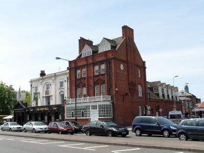
496, Streatham High Road Sw6, building in Lambeth, Greater London, UK
Location: London Borough of Lambeth
GPS coordinates: 51.41954,-0.12835
Latest update: March 9, 2025 14:06
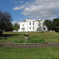
Norwood Grove
944 m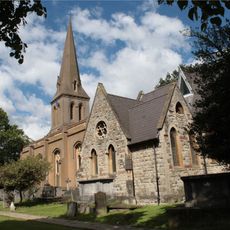
St Leonard's Church
1.1 km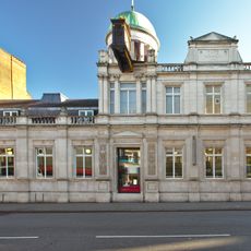
Streatham Library
1.3 km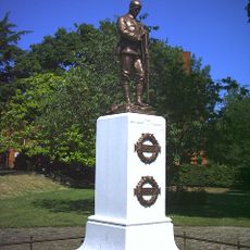
Streatham War Memorial
427 m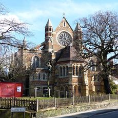
St Peter's Church
1.7 km
Biggin Wood
1.5 km
Oakleigh Way
1.6 km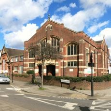
Streatham Methodist Church
1 km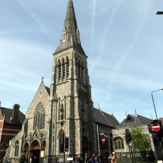
Roman Catholic Church of the English Martyrs
1.1 km
Mitcham Lane Baptist Church
1.2 km
Streatham United Reformed Church
553 m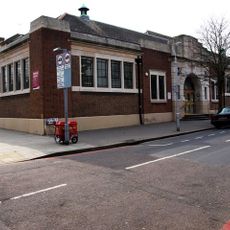
Norbury Library
1.6 km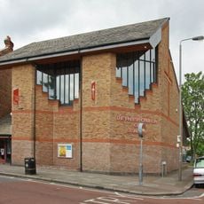
Parish Church of St Alban
1.2 km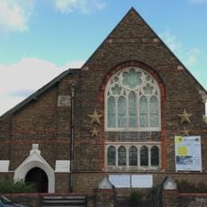
Trinity Reformed Church
1.4 km
Furzedown Lodge
1.7 km
Waterworks Pumping Station
784 m
Yew Tree Lodge
1.6 km
The Parish Church of St Philip - Home to Libera
1.7 km
Mill Building On South Side Of Factory Square, Ten Yards To West Of Number 496 Streatham High Road
85 m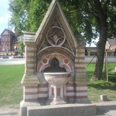
Dyce Drinking Fountain
998 m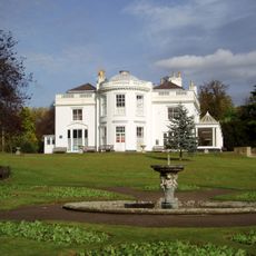
Norwood Grove, Including Terrace Steps To Garden
994 m
No. 269 Leigham Court Road And Associated Patios, Paved Surfaces And Walls
1.5 km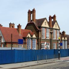
Main Building Of Sunnyhill Junior Mixed And Infants School
1.2 km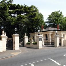
Gates, Gates Piers And Flanking Walls At Main Entrance To St Michael's Convent
1 km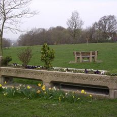
Trough With Drinking Fountain
667 m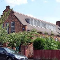
St Andrew's Church Hall
400 m
Streatham Civilians War Memorial
458 m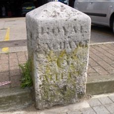
Milestone, Streatham High Road, in front of Kwik-fit garage
1.5 kmReviews
Visited this place? Tap the stars to rate it and share your experience / photos with the community! Try now! You can cancel it anytime.
Discover hidden gems everywhere you go!
From secret cafés to breathtaking viewpoints, skip the crowded tourist spots and find places that match your style. Our app makes it easy with voice search, smart filtering, route optimization, and insider tips from travelers worldwide. Download now for the complete mobile experience.

A unique approach to discovering new places❞
— Le Figaro
All the places worth exploring❞
— France Info
A tailor-made excursion in just a few clicks❞
— 20 Minutes