
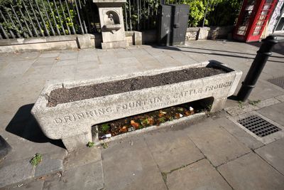
Cattle And Horse Drinking Trough, drinking fountain in Tower Hamlets, Greater London, UK
Location: London Borough of Tower Hamlets
GPS coordinates: 51.51870,-0.07436
Latest update: September 23, 2025 09:39
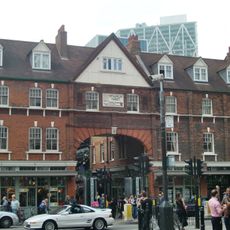
Old Spitalfields Market
104 m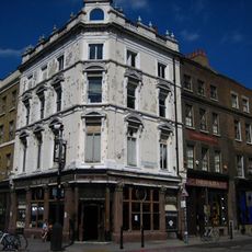
Ten Bells
74 m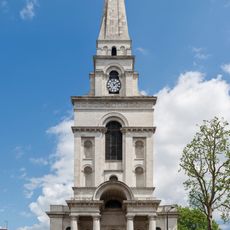
Christ Church, Spitalfields
45 m
1 and 3, Fournier Street E1
75 m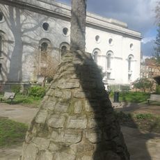
Spitalfields Christ Church War Memorial
23 m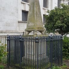
Nash Monument, Christ Church
37 m
8 and 10 Fournier Street
123 m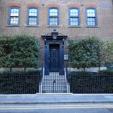
5 White's Row
105 m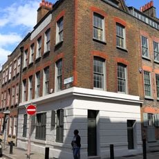
15, Fournier Street E1
99 m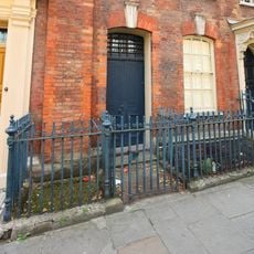
6 Fournier Street
115 m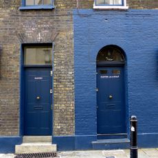
11, Fournier Street E1
83 m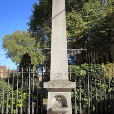
Drinking Fountain
4 m
5 Bollards (On The Pavement In Front Of Christ Church Churchyard)
22 m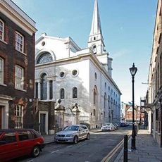
Christchurch Rectory
104 m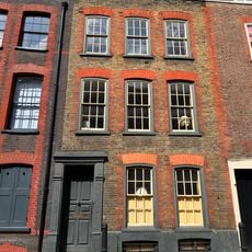
25, Fournier Street E1
118 m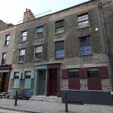
5, 7 And 9, Fournier Street E1
79 m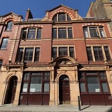
Soup Kitchen For The Jewish Poor
101 m
2, Wilkes Street E1
107 m
10-48, Fashion Street E1
101 m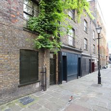
4-7, Puma Court
98 m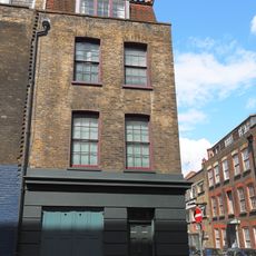
13, Fournier Street E1
89 m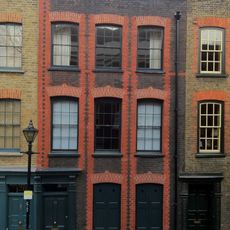
23, Fournier Street E1
115 m
6, Wilkes Street E1
126 m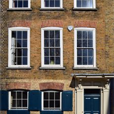
19, Fournier Street E1
106 m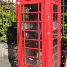
K6 Telephone Kiosk
8 m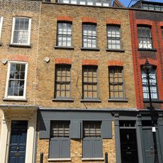
21, Fournier Street E1
111 m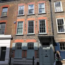
17, Fournier Street E1
103 m
4 Fournier Street
109 mReviews
Visited this place? Tap the stars to rate it and share your experience / photos with the community! Try now! You can cancel it anytime.
Discover hidden gems everywhere you go!
From secret cafés to breathtaking viewpoints, skip the crowded tourist spots and find places that match your style. Our app makes it easy with voice search, smart filtering, route optimization, and insider tips from travelers worldwide. Download now for the complete mobile experience.

A unique approach to discovering new places❞
— Le Figaro
All the places worth exploring❞
— France Info
A tailor-made excursion in just a few clicks❞
— 20 Minutes