
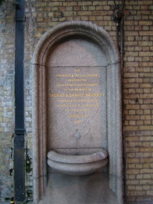
Drinking Fountain, drinking fountain in Tower Hamlets, Greater London, UK
Location: London Borough of Tower Hamlets
Inception: 1866
GPS coordinates: 51.51264,-0.03532
Latest update: September 23, 2025 09:39
Limehouse Library
135 m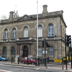
Limehouse Town Hall
275 m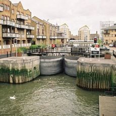
Limehouse Basin Lock
299 m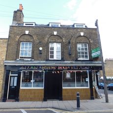
Queen's Head
277 m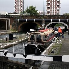
Commercial Road Lock
93 m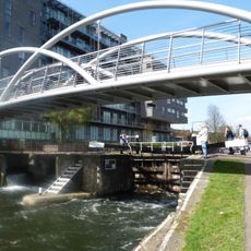
Salmon Lane Lock
253 m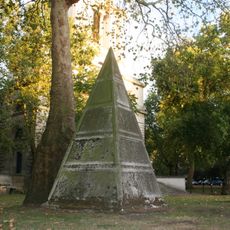
Pyramid Monument Approximately 25 Metres North West Of St Annes Limehouse Parish Church
317 m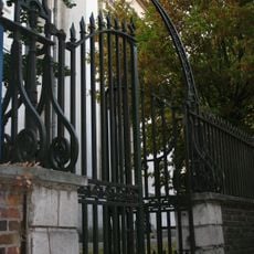
Church Yard Walls, Railings, Gates And Gate Piers At St Anne's Church
308 m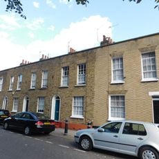
3-7, Flamborough Street E1
270 m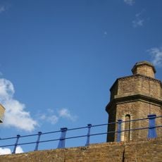
Accumulator Tower and Chimney
77 m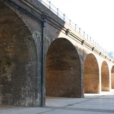
Railway Viaduct To North Of Regents Canal Dock
90 m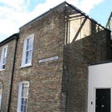
1A, Flamborough Street E1
258 m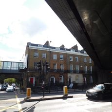
582-588, Commercial Road E14
283 m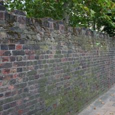
Garden Wall To Former St Anne's Rectory
203 m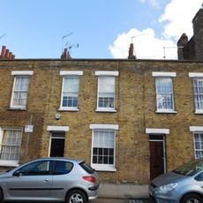
9-15, Flamborough Street E1
289 m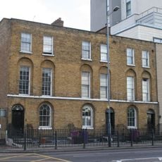
604-608, Commercial Road E14
55 m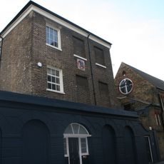
British Sailors Society
254 m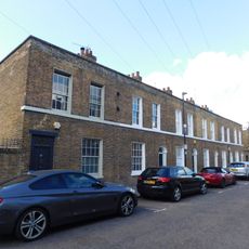
16-21, Flamborough Street E1
310 m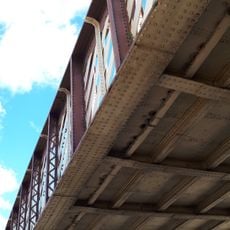
Railway Bridge
0 m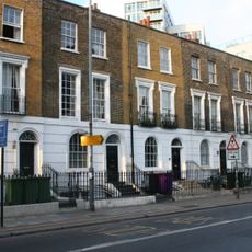
699-711, Commercial Road E14
40 m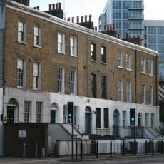
683-691, Commercial Road E14
22 m
22-24, Flamborough Street E1
277 m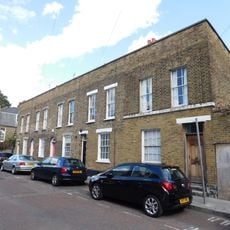
2-10, Barnes Street E1
311 m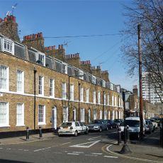
9-16, York Square E14
311 m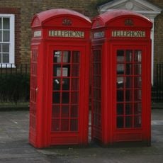
Pair Of K2 Telephone Kiosks By Entrance To Rotherhithe Tunnel
310 m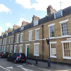
1-8, York Square E14
298 m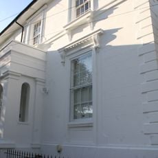
Durham Villa, 5, Flamborough Walk
240 m
11-23, Newell Street
305 mReviews
Visited this place? Tap the stars to rate it and share your experience / photos with the community! Try now! You can cancel it anytime.
Discover hidden gems everywhere you go!
From secret cafés to breathtaking viewpoints, skip the crowded tourist spots and find places that match your style. Our app makes it easy with voice search, smart filtering, route optimization, and insider tips from travelers worldwide. Download now for the complete mobile experience.

A unique approach to discovering new places❞
— Le Figaro
All the places worth exploring❞
— France Info
A tailor-made excursion in just a few clicks❞
— 20 Minutes