
15 And 17, High Street, building in Enfield, Greater London, UK
Location: London Borough of Enfield
GPS coordinates: 51.62635,-0.12536
Latest update: March 3, 2025 02:28


Grovelands Park
887 m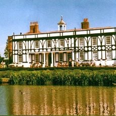
Broomfield House
1.1 km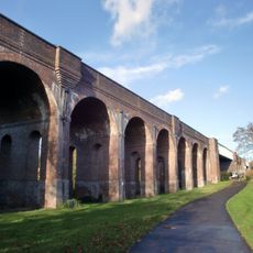
Arnos Park Viaduct
954 m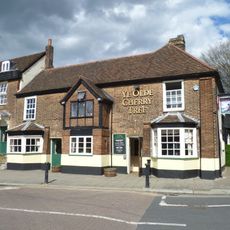
Ye Olde Cherry Tree
214 m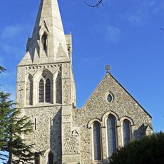
Christ Church Southgate Parish Church
266 m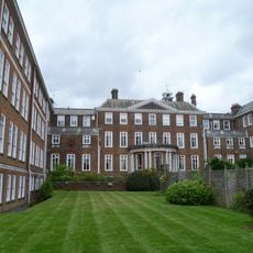
Arnos Grove house
400 m
Southgate House
354 m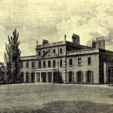
Cullands Grove
667 m
Valentine Poole houses
173 m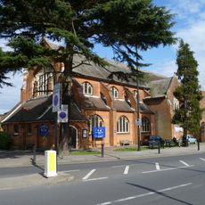
St Andrew's Church
969 m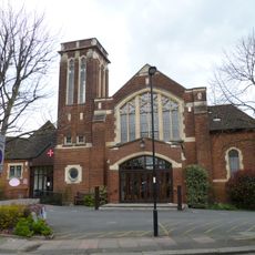
Southgate Methodist Church
616 m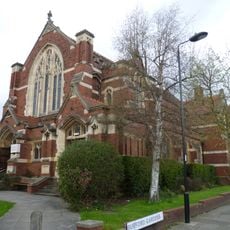
Palmers Green United Reformed Church
1.1 km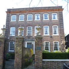
Arnoside House and Essex House
146 m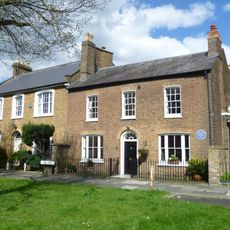
40 The Green
105 m
Oakbeams
220 m
Wilmer Way footbridge
1.3 km
Sandford House & Norbury House
121 m
Bowes Road Library And Arnos Pool
1.3 km
Old House
147 m
Broomfield Park Garden of Remembrance
1.2 km
Grovelands House
848 m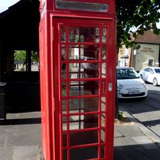
K6 Telephone Kiosk Opposite Numbers 49-52 Cannon Hill
247 m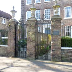
Forecourt Walls, Railings And Gates To Number 4 (essex House) And Number 5 (arnoside House)
154 m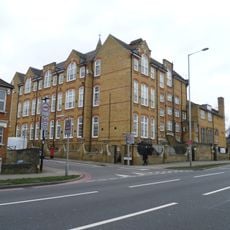
Junior And Infant School
1.4 km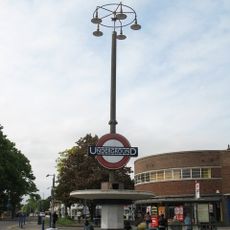
Station pylons to north and south of Southgate Station
708 m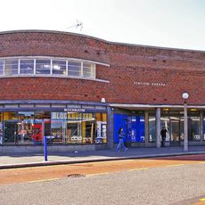
Numbers 1 To 8 Including Eight Lamp Posts To East And West
662 m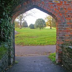
East Wall Of Broomfield Park Including Attached Garden House And Stable Block
1.2 km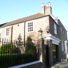
Essex Coach House
149 mReviews
Visited this place? Tap the stars to rate it and share your experience / photos with the community! Try now! You can cancel it anytime.
Discover hidden gems everywhere you go!
From secret cafés to breathtaking viewpoints, skip the crowded tourist spots and find places that match your style. Our app makes it easy with voice search, smart filtering, route optimization, and insider tips from travelers worldwide. Download now for the complete mobile experience.

A unique approach to discovering new places❞
— Le Figaro
All the places worth exploring❞
— France Info
A tailor-made excursion in just a few clicks❞
— 20 Minutes