
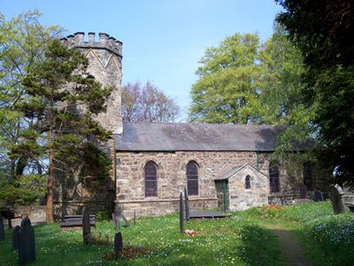
Llangelynin New Church, grade II listed building in Conwy County Borough, located on the E side of a lane about 1km SW of the B5106 on the way to Rowen; situated in a walled churchyard surrounded by mature trees, with the W tower sited downhill towards the Afon Gyffin
Location: Henryd
Elevation above the sea: 36.9 m
GPS coordinates: 53.24466,-3.84310
Latest update: March 4, 2025 01:51
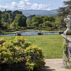
Bodnant Garden
3.1 km
Canovium
3.2 km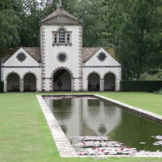
The Pin Mill
3.1 km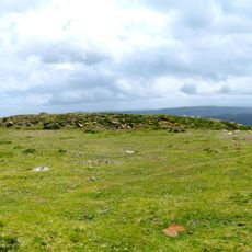
Caer Bach
2.7 km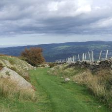
Chester-Segontium Roman Road
3.1 km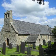
St Mary's Church
3.2 km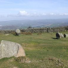
Cefn Llechen Stone Circle
3 km
Laburnam Arch
3.2 km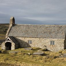
St Celynin's Old Church
2 km
Cerrig-y-ddinas, Llangelynin
1.7 km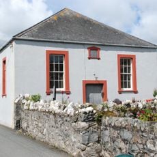
Henryd Welsh Independent Chapel
1.2 km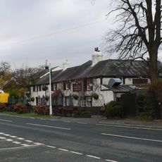
The Groes Inn
748 m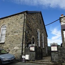
Capel Ro-Wen
2 km
Caer Rhun Hall
3 km
Plas Iolyn
1.9 km
Pont Henryd
1.2 km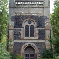
The Poem
3.3 km
Gyffin Community Centre
3.4 km
Furnace Mill
3 km
Bodnant
3.1 km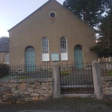
Tabernacl Chapel
2.1 km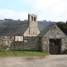
Lychgate at Church of St Mary with churchyard walls including former Bierhouse and store
3.2 km
Cyffredin
2.2 km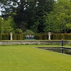
Semi-circular Walls and Steps leading to Canal Terrace
3 km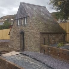
Outbuilding at Gyffin Community Centre
3.4 km
Soar Welsh Methodist Church
3.4 km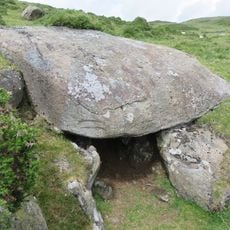
Siambr Gladdu Caer Bach
2.8 km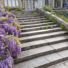
Walls and Steps retaining Upper (house) Terrace and retaining Walls and Steps to Rose Terrace
3.1 kmVisited this place? Tap the stars to rate it and share your experience / photos with the community! Try now! You can cancel it anytime.
Discover hidden gems everywhere you go!
From secret cafés to breathtaking viewpoints, skip the crowded tourist spots and find places that match your style. Our app makes it easy with voice search, smart filtering, route optimization, and insider tips from travelers worldwide. Download now for the complete mobile experience.

A unique approach to discovering new places❞
— Le Figaro
All the places worth exploring❞
— France Info
A tailor-made excursion in just a few clicks❞
— 20 Minutes