
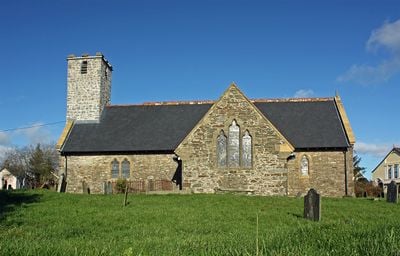
Church of Saint Mary, grade II listed building in Maenclochog, in a prominent position in the centre of the village green at Maenclochog
Location: Maenclochog
Elevation above the sea: 211.1 m
GPS coordinates: 51.91196,-4.78835
Latest update: March 12, 2025 22:02

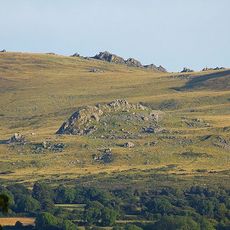
Carn Menyn
7.9 km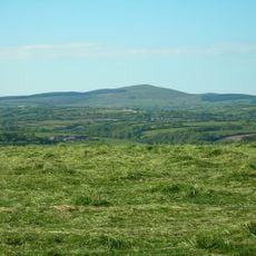
Foel Cwmcerwyn
3.9 km
Temple Druid
1.3 km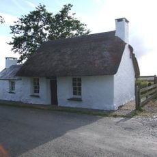
Penrhos Cottage Museum
2.4 km
Gelli Bridge
7.9 km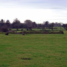
Cairn Circle 585m NE of Meini Gwyr
5.9 km
Allt Pontfaen - Coed Gelli-fawr
8.1 km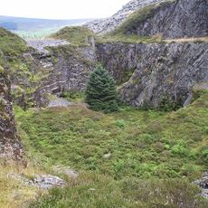
Rosebush quarry
2.6 km
Wallis Moor
7 km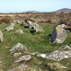
Bedd yr Afanc Burial Chamber
7.6 km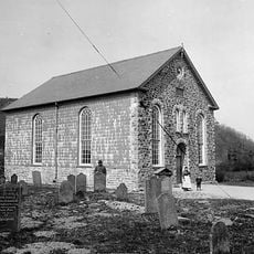
Rhydwilym Baptist Church
4.1 km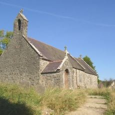
St Non's Church, Llanycefn
3.9 km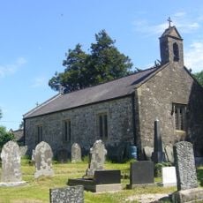
Church of Saint Tysilio
6.7 km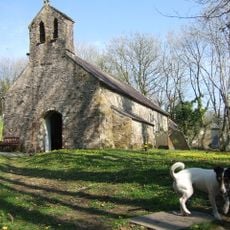
Church of Saint Meilyr
5.4 km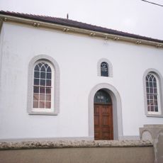
Nebo Independent Chapel
5.9 km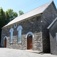
Brynberian Independent Chapel
8 km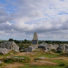
Waldo Williams memorial stone
5.9 km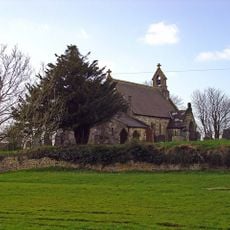
St Mary's Church, Walton East
7.3 km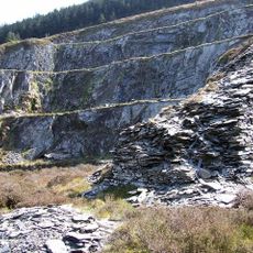
Bellstone quarry
2.8 km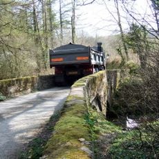
Farthings Hook Bridge
3.6 km
Llandilo quarry
2.1 km
St John the Baptist's Church
5.7 km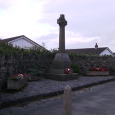
Llandissilio War Memorial
7 km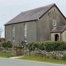
Siloh Congregational Chapel
4.4 km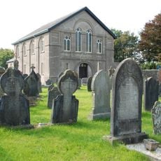
Pisgah Independent Chapel
7 km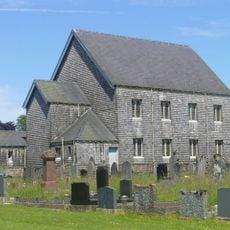
Blaenconin Welsh Baptist Church
7.6 km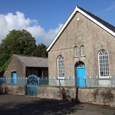
Bethel Chapel
7.9 kmVisited this place? Tap the stars to rate it and share your experience / photos with the community! Try now! You can cancel it anytime.
Discover hidden gems everywhere you go!
From secret cafés to breathtaking viewpoints, skip the crowded tourist spots and find places that match your style. Our app makes it easy with voice search, smart filtering, route optimization, and insider tips from travelers worldwide. Download now for the complete mobile experience.

A unique approach to discovering new places❞
— Le Figaro
All the places worth exploring❞
— France Info
A tailor-made excursion in just a few clicks❞
— 20 Minutes