
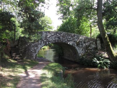
Workhouse Bridge, Grade II listed building in Llangynidr. On a private road S of B4558 and accessible by footpath.
Location: Llangynidr
Elevation above the sea: 128.4 m
GPS coordinates: 51.87033,-3.25901
Latest update: September 23, 2025 16:47
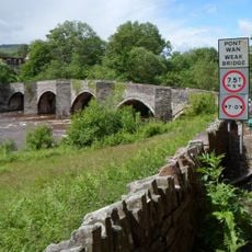
Llangynidr Bridge
1.9 km
Blaenllyfni Castle
3.2 km
Tor y Foel
2 km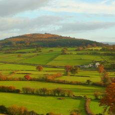
Myarth
3.8 km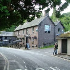
White Hart Inn
3.3 km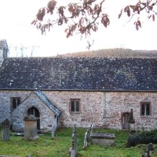
Church Of St Tetta
724 m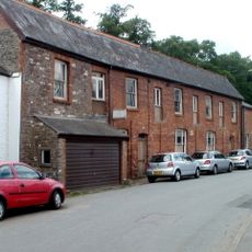
Former skittle alley and tea-room
3.4 km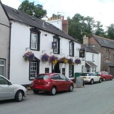
The Star Inn
3.4 km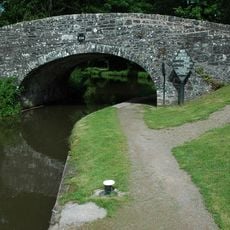
Coombes Lock Bridge (Canal Bridge No 134)
940 m
Panteague Upper Bridge (Canal Bridge No 129)
2.6 km
Aberhoyw Bridge (Canal Bridge No 126)
3.4 km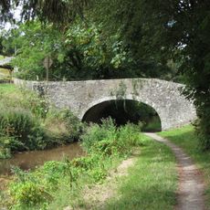
Llanddetti Bridge
1.2 km
Tofs Lock Bridge (Canal Bridge No 135)
300 m
White Hart Bridge (Canal Bridge No.143) including attached retaining wall
3.3 km
Wenallt Lower Bridge
1.4 km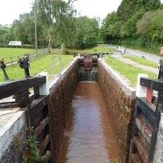
Lower Lock Bridge (Canal Bridge No 132)↵ including Lock No 64
1.3 km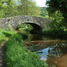
Old House Bridge (Canal Bridge No 127)
3.1 km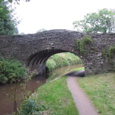
Wenallt Upper Bridge
1.6 km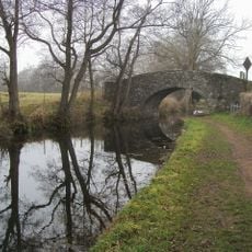
Aberyail Bridge
2.4 km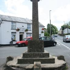
Bwlch War Memorial
2.7 km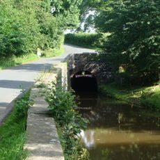
Ashford tunnel N Portal (Monmouthshire and Brecon Canal)
2.2 km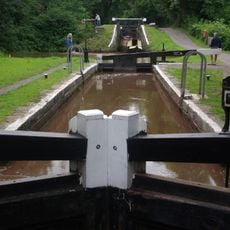
Lock No 67
485 m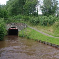
Ashford Tunnel S Portal (Monmouthshire and Brecon Canal)
1.9 km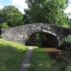
Dan-y-graig Bridge
305 m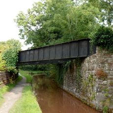
Pair of railway bridges over road and canal at Talybont
3.3 km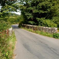
Aber Bridge
3.3 km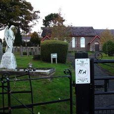
Penuel Chapel
2.7 km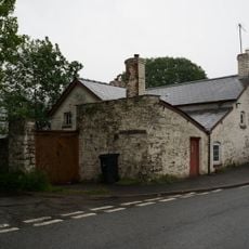
Danywern
3.5 kmReviews
Visited this place? Tap the stars to rate it and share your experience / photos with the community! Try now! You can cancel it anytime.
Discover hidden gems everywhere you go!
From secret cafés to breathtaking viewpoints, skip the crowded tourist spots and find places that match your style. Our app makes it easy with voice search, smart filtering, route optimization, and insider tips from travelers worldwide. Download now for the complete mobile experience.

A unique approach to discovering new places❞
— Le Figaro
All the places worth exploring❞
— France Info
A tailor-made excursion in just a few clicks❞
— 20 Minutes