
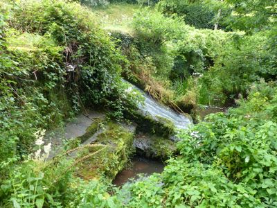
Beaufort Pond Dam, Grade II listed dam in Tintern. About 500m above Old Furnace with the Trellech road crossing the dam crest.
Location: Tintern
Elevation above the sea: 66.4 m
GPS coordinates: 51.70055,-2.71135
Latest update: March 5, 2025 20:45

Tintern Abbey
2.4 km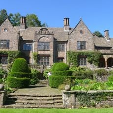
Wyndcliffe Court
3.3 km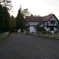
Tredean
3.4 km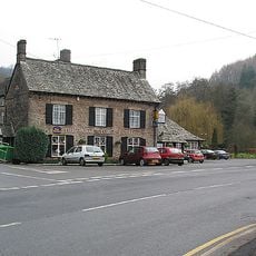
Royal George Hotel
2 km
Shorn Cliff and Caswell Woods
3.1 km
Sylvan House Barn
3.2 km
St Anne's House
2.3 km
Cleddon Bog
3.5 km
Lippets Grove
3.1 km
Church of St Michael
2.2 km
Church of St Mary
2 km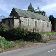
Church of St James, Devauden
2.9 km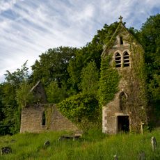
Former Church of St Mary
2.1 km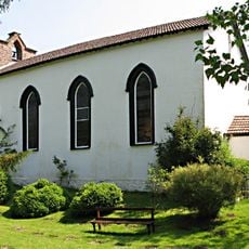
Moravian Chapel
3.1 km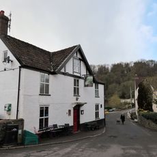
The Brockweir Inn
3.1 km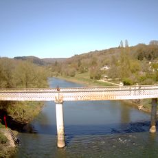
Brockweir Bridge
3 km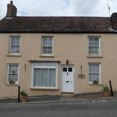
Phoenix House
3.1 km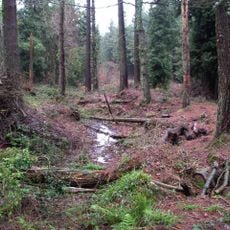
Chepstow Park Wood Earthwork
3.1 km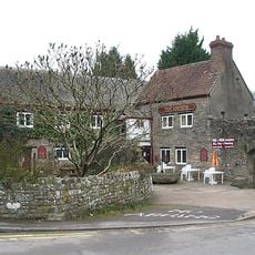
The Anchor
2.3 km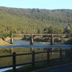
Old Tramway Bridge (Formerly Wireworks Bridge)
2.1 km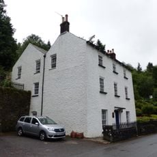
Crown Lodge
2 km
Retaining Wall/Dam of Holding Pond at the Old Wire Works
1.7 km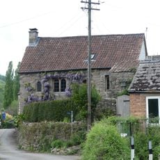
Malt House
3.1 km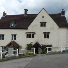
Manor House and adjoining house
3.1 km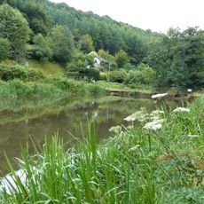
Furnace Dam
654 m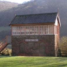
Signal Box at Tintern Station
2.8 km
Lodge at entrance to Tredean
2.9 km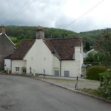
Glen Wye
3.1 kmVisited this place? Tap the stars to rate it and share your experience / photos with the community! Try now! You can cancel it anytime.
Discover hidden gems everywhere you go!
From secret cafés to breathtaking viewpoints, skip the crowded tourist spots and find places that match your style. Our app makes it easy with voice search, smart filtering, route optimization, and insider tips from travelers worldwide. Download now for the complete mobile experience.

A unique approach to discovering new places❞
— Le Figaro
All the places worth exploring❞
— France Info
A tailor-made excursion in just a few clicks❞
— 20 Minutes