Tintern, village in Wye Valley, Monmouthshire, United Kingdom
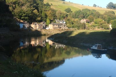
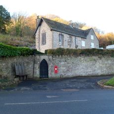
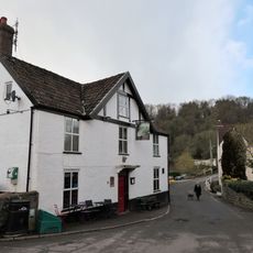
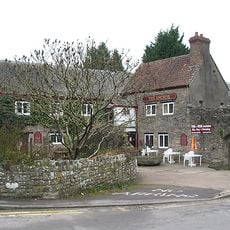
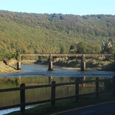
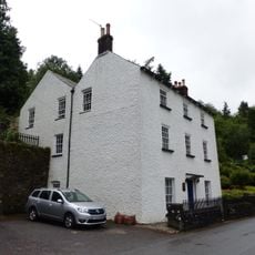
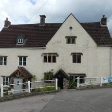
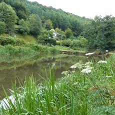
Tintern is a small village in the Wye Valley, sitting on the western bank of the River Wye close to the border between Wales and England. Stone buildings line the riverside, and wooded hills rise steeply on both sides of the valley.
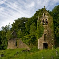
The area around Tintern has been settled since at least the early medieval period, with local tradition linking it to a 6th-century hermit. The founding of a Cistercian abbey here in 1131 shaped the village for centuries, until the abbey was dissolved under Henry VIII in the 16th century.
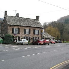
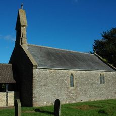
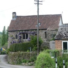
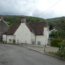
The name Tintern is thought to come from an old Welsh phrase meaning "kingdom of the river." Small stone cottages, a parish church, and a handful of local shops line the main road and give the village a lived-in, unhurried feel that visitors can notice as they walk through.
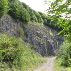
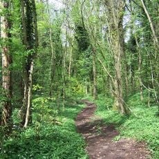
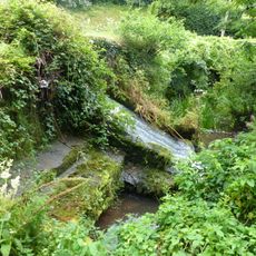
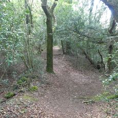
Tintern is reached by a single road that runs along the river, so arriving by bus or car is straightforward. Walkers should wear sturdy footwear as the forest paths on the surrounding hills can be steep and uneven, especially after rain.
A vineyard near the village produces wine this far north in Britain, something most visitors do not expect to find in a Welsh river valley. The ruins of the nearby abbey also helped to establish the Wye Valley as one of the first tourist routes in Britain, drawing visitors as early as the late 18th century.
The community of curious travelers
AroundUs brings together thousands of curated places, local tips, and hidden gems, enriched daily by 60,000 contributors worldwide.