
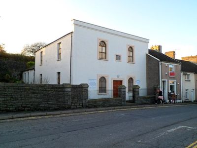
Libanus Welsh Baptist Church, grade II listed building in Pontypridd. Approximately 100m SW of St Dyfrig's RC Church
Location: Pontypridd
Elevation above the sea: 60.1 m
GPS coordinates: 51.59423,-3.32560
Latest update: March 16, 2025 16:03
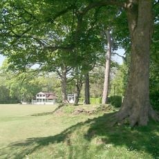
Ynysangharad Park
1 km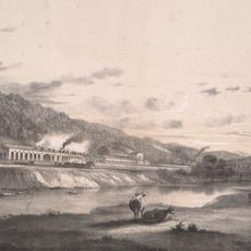
Treforest Tinplate Works
1.3 km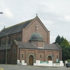
St Dyfrig's Church
92 m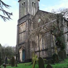
St Mary's Church
336 m
The Groggshop
350 m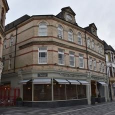
Market Tavern Hotel
1.4 km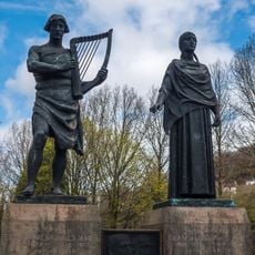
Memorial to Evan and James James
1.2 km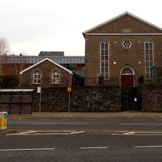
Sardis Welsh Independent Chapel
1.3 km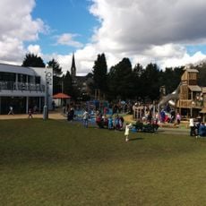
Lido at Ynysangharad Park
1.2 km
Tabernacle Welsh Baptist Chapel
1.4 km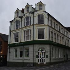
Lloyds TSB Bank, Market Square branch
1.4 km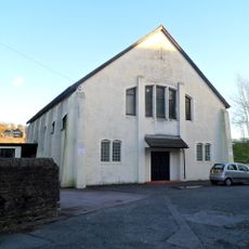
St Dyfrig's Church Hall
76 m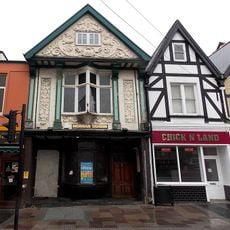
Platform 11
1.2 km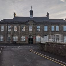
Pontypridd Register Office
1.3 km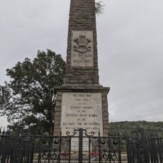
Welch Regimental War Memorial
1.2 km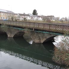
Castle Bridge
233 m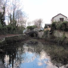
Bridge over Glamorganshire Canal W of Newbridge Chainworks basin
977 m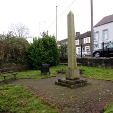
Crawshay Obelisk SW of Castle Bridge
245 m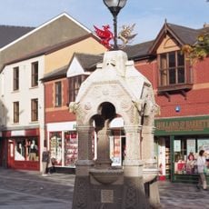
Drinking Fountain
1.4 km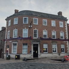
National Westminster Bank
1.3 km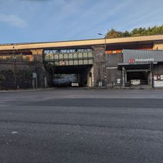
Railway Bridge beneath Pontypridd Railway Station
1.2 km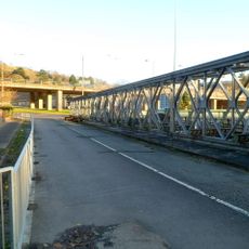
Machine Bridge (also Known As Pont Y Doctor)
148 m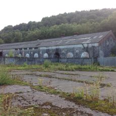
Former Rolling Mill At Treforest Tinplate Works
1.3 km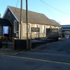
Castle Square English Independent Church
236 m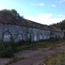
Former Tinning House At Treforest Tinplate Works
1.2 km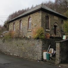
Sunday School
1 km
Le Crazy Croissant
1.4 km
Calvary English Baptist Church
456 mReviews
Visited this place? Tap the stars to rate it and share your experience / photos with the community! Try now! You can cancel it anytime.
Discover hidden gems everywhere you go!
From secret cafés to breathtaking viewpoints, skip the crowded tourist spots and find places that match your style. Our app makes it easy with voice search, smart filtering, route optimization, and insider tips from travelers worldwide. Download now for the complete mobile experience.

A unique approach to discovering new places❞
— Le Figaro
All the places worth exploring❞
— France Info
A tailor-made excursion in just a few clicks❞
— 20 Minutes