
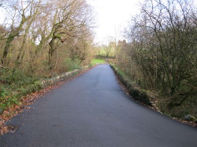
Pont Ffynnon-gadfa, Grade II listed building in Gwynedd. The causeway bridge carries the road from Pencaenewydd over the Afon Erch, running to the SW of the village.
Location: Llannor
Elevation above the sea: 55.6 m
GPS coordinates: 52.93641,-4.38181
Latest update: September 23, 2025 16:46
Hafan y Môr
3.9 km
Yr Eifl
5.7 km
Tre'r Ceiri
5.1 km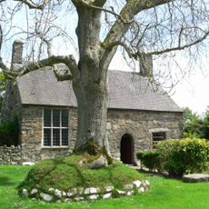
Penarth-fawr
3.3 km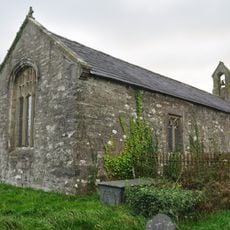
St Cybi's Church
3 km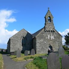
St Cawrdaf's Church
3.8 km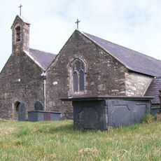
St Garmon's Church
2.5 km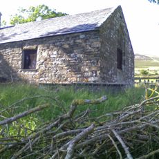
Church of St Beuno
3 km
Carn Pentyrch, Llangybi
2.8 km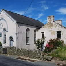
Capel Methodistiaid Calfinaidd
5.1 km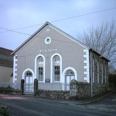
Capel Ebenezer
3.8 km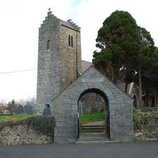
Church Of The Holy Cross
5.5 km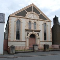
Capel Siloh
3.8 km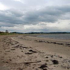
Glan Don Beach
5.6 km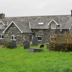
Former School in the churchyard of the Church of St Garmon
2.5 km
No.46 High Street (Williams Pwlldefaid)
5.7 km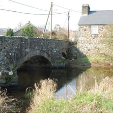
Pont Abererch
3.6 km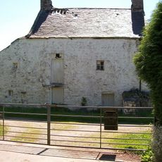
Llannerch
4.6 km
Pont Ynys Creua
5.5 km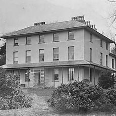
Broom Hall
3.3 km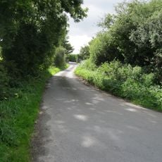
Bridge at Tyddyn Rhoddyn
1.9 km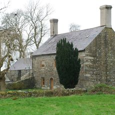
Plas-du
1.1 km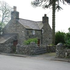
Ty'n-llan
2.5 km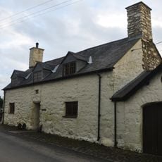
Ty'n-y-porth
2.9 km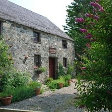
Former Stable at Penarth-fawr
3.2 km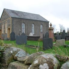
Capel Helyg
2.5 km
Ty-gwyn
3.7 km
No.47 High Street (Commercial House)
5.7 kmReviews
Visited this place? Tap the stars to rate it and share your experience / photos with the community! Try now! You can cancel it anytime.
Discover hidden gems everywhere you go!
From secret cafés to breathtaking viewpoints, skip the crowded tourist spots and find places that match your style. Our app makes it easy with voice search, smart filtering, route optimization, and insider tips from travelers worldwide. Download now for the complete mobile experience.

A unique approach to discovering new places❞
— Le Figaro
All the places worth exploring❞
— France Info
A tailor-made excursion in just a few clicks❞
— 20 Minutes