
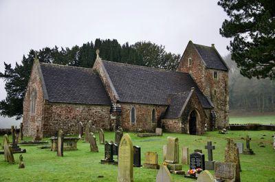
Church of St Bridget, grade II listed building in Caerwent, To the west of the road between Penhow and Magor about 4.5km south west of Caerwent
Location: Caerwent
Inception: 13 century
Elevation above the sea: 18.9 m
GPS coordinates: 51.60220,-2.82669
Latest update: March 4, 2025 09:23
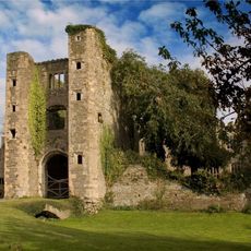
Pencoed Castle
2.2 km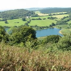
Wentwood
3.3 km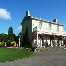
Dewstow House
4 km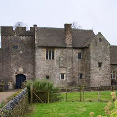
Penhow Castle
1.4 km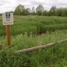
Magor Marsh
2.9 km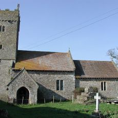
St Michael and All Angels Church, Llanfihangel Rogiet
2.9 km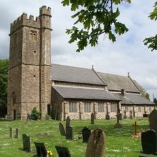
Church of St Stephen and St Tathan (Tatheus)
4.1 km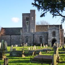
St Mary's Church
2.6 km
Magor Mansion (also Known As The Procurator's House)
2.6 km
Church of St Mary, Rogiet
3.4 km
St Mary's Church
2.9 km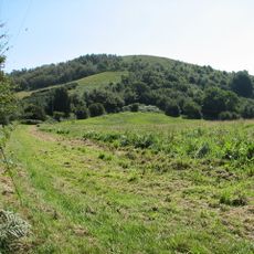
Gray Hill stone circle
4 km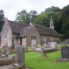
Church of St Mary
3.4 km
St Dyfrig's Church
2.2 km
Parish Church of St Cadwaladr
4.8 km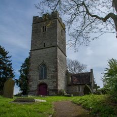
Parish Church of St Martin
3.4 km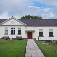
Tabernacle
1.8 km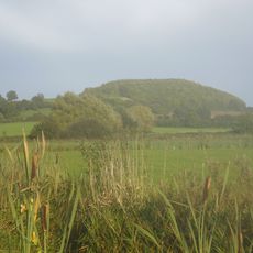
Wilcrick Hill Camp
2.5 km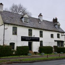
Rock & Fountain
1.5 km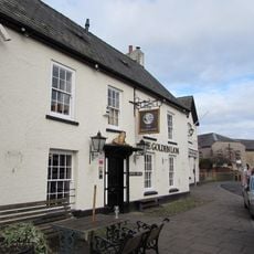
The Golden Lion PH
2.5 km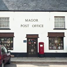
Magor Post Office
2.5 km
War Memorial
2.5 km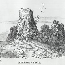
Llanvair Discoed Castle
3.3 km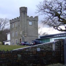
Kemeys Folly
5.1 km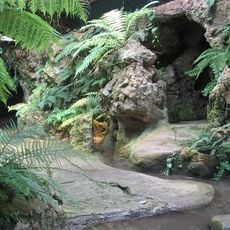
Grotto About 30m To The South East Of Dewstow House
4 km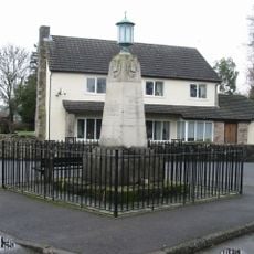
War Memorial
4.1 km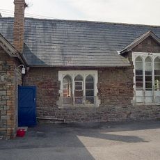
Old School
2.6 km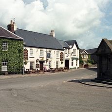
Magor House
2.5 kmVisited this place? Tap the stars to rate it and share your experience / photos with the community! Try now! You can cancel it anytime.
Discover hidden gems everywhere you go!
From secret cafés to breathtaking viewpoints, skip the crowded tourist spots and find places that match your style. Our app makes it easy with voice search, smart filtering, route optimization, and insider tips from travelers worldwide. Download now for the complete mobile experience.

A unique approach to discovering new places❞
— Le Figaro
All the places worth exploring❞
— France Info
A tailor-made excursion in just a few clicks❞
— 20 Minutes