
Former Village School, Grade II listed building in Denbighshire. At the south-east side of the village street, beside Bryn-awel.
Location: Bryneglwys
Elevation above the sea: 245.5 m
GPS coordinates: 53.01563,-3.27395
Latest update: March 4, 2025 10:57

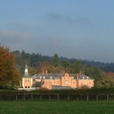
Nantclwyd Hall
5.8 km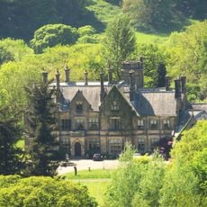
Llantysilio Hall
5.7 km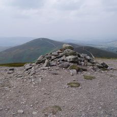
Moel y Gamelin
3.1 km
Tomen y Rhodwydd
5.3 km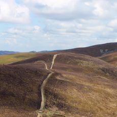
Moel y Gaer, Llantysilio
2.2 km
Leyland Arms, Llanelidan
4.9 km
St Elidan's Church
4.9 km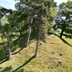
Owain Glyndŵr's Mount
4.6 km
Bwrdd y Tri Arglwydd
4.3 km
Plas yn Iâl
3.2 km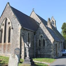
St Thomas's Church
4.7 km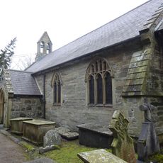
St Bridget's Church
5.1 km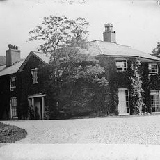
Rhagatt Hall
5.9 km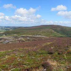
Moel y Faen
3.9 km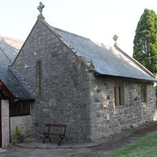
Church Of St Tysilio
198 m
Capel Seion
4.6 km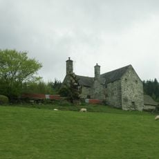
Carrog Uchaf, Glyndyfrdwy
4.7 km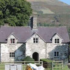
New Inn Farmhouse, Glyndyfrdwy
4.5 km
Pentrecelyn Hall
6 km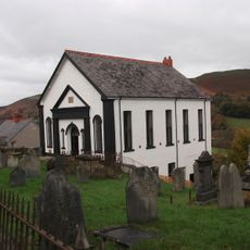
Glyndyfrdwy Baptist Church
4.7 km
Plas-uchaf
5.9 km
Pont Nant Clwyd
6 km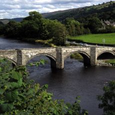
Pont Carrog
4.7 km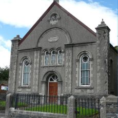
Carrog Welsh Baptist Church
4.9 km
Glyndyfrdwy Methodist Chapel
4.6 km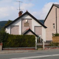
Beulah Independent Chapel
4.7 km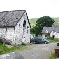
Barn and Shippon at New Inn Farm, Glyndyfrdwy
4.6 km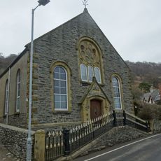
Carrog Chapel
4.8 kmVisited this place? Tap the stars to rate it and share your experience / photos with the community! Try now! You can cancel it anytime.
Discover hidden gems everywhere you go!
From secret cafés to breathtaking viewpoints, skip the crowded tourist spots and find places that match your style. Our app makes it easy with voice search, smart filtering, route optimization, and insider tips from travelers worldwide. Download now for the complete mobile experience.

A unique approach to discovering new places❞
— Le Figaro
All the places worth exploring❞
— France Info
A tailor-made excursion in just a few clicks❞
— 20 Minutes