
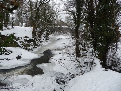
Pont Rhyd-yr-efail, Grade II listed building in Powys. Over the Afon Gam, a right tributary of the Afon Banwy, about 1km south of the village of Llangadfan.
Location: Llanerfyl
Elevation above the sea: 169.8 m
GPS coordinates: 52.67611,-3.46412
Latest update: September 23, 2025 16:47

Lake Vyrnwy Straining Tower
10.4 km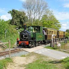
Welshpool & Llanfair Light Railway
10 km
Pentre Camp, Llangyniew
10.6 km
Ffridd Mathrafal
10.9 km
Mynydd Maes-glas
10.9 km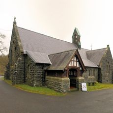
St Wddyn's Church
9.6 km
Hen Capel John Hughes
10.3 km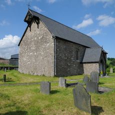
Church Of St Mary
8.7 km
Cann Office Hotel
1 km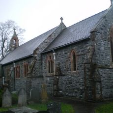
Church of St. Erfyl
2.3 km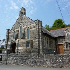
Ann Griffiths Memorial Chapel
6.3 km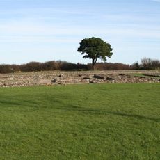
Caer Rufeinig Llanfair Caereinion
10.8 km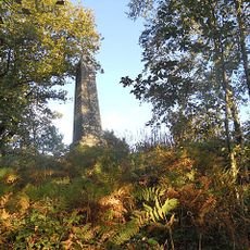
Memorial Obelisk to Lake Vyrnwy Workers
9.8 km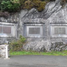
Lake Vyrnwy Dam Memorials
9.7 km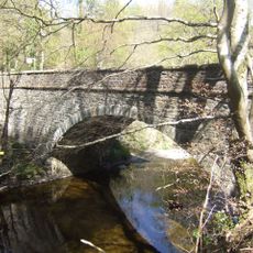
Pont Llogel
6.1 km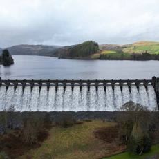
Lake Vyrnwy Dam
9.6 km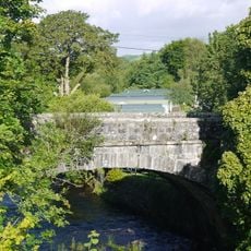
Pont Llangadfan
768 m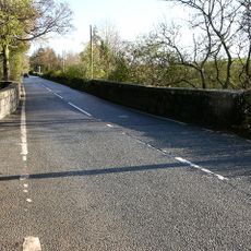
Pont Nant-y-dugoed
10 km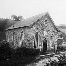
Seion Baptist Chapel
9.9 km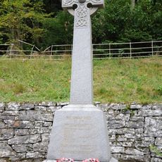
Llanwddyn War Memorial
9.5 km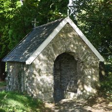
Lychgate of St Cadfan's Church
610 m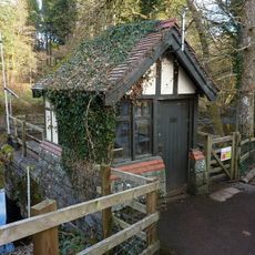
Gauge House at Vyrnwy Weir
9.3 km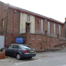
Ebeneser Welsh Independent Chapel
9.5 km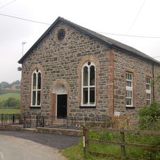
Pontrobert Chapel
10.1 km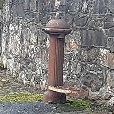
Water Standpost/ Fire Hydrant
2.3 km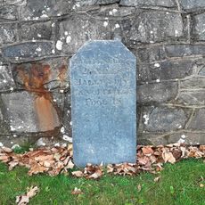
Milestone near Dyffryn Restaurant
3.9 km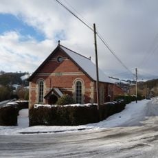
Seion Welsh Independent Chapel
10.5 km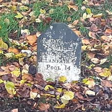
Milestone
2.2 kmReviews
Visited this place? Tap the stars to rate it and share your experience / photos with the community! Try now! You can cancel it anytime.
Discover hidden gems everywhere you go!
From secret cafés to breathtaking viewpoints, skip the crowded tourist spots and find places that match your style. Our app makes it easy with voice search, smart filtering, route optimization, and insider tips from travelers worldwide. Download now for the complete mobile experience.

A unique approach to discovering new places❞
— Le Figaro
All the places worth exploring❞
— France Info
A tailor-made excursion in just a few clicks❞
— 20 Minutes