
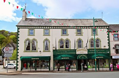
Kerfoots, Grade II listed building in Gwynedd. Set back from the junction of High Street and Penamser Road.
Location: Porthmadog
Elevation above the sea: 2.7 m
GPS coordinates: 52.92786,-4.13377
Latest update: March 12, 2025 19:36
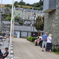
Maritime Museum
503 m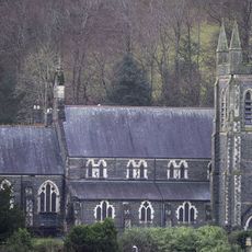
St John's Church
153 m
HSBC Bank
284 m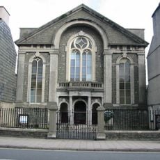
Salem Welsh Independent Chapel
228 m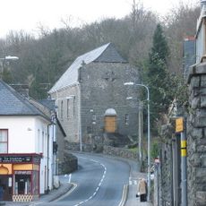
Church of the Most Holy Redeemer
336 m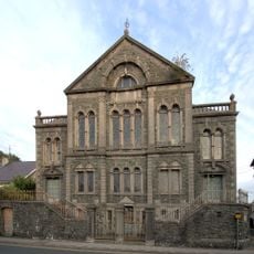
Capel y Garth
244 m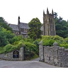
Gates, gate piers and flanking walls at S entrance to church of St John
159 m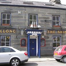
The Ship
382 m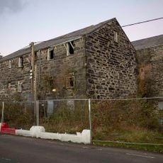
Snowdon Mill and Ty'r Felin
410 m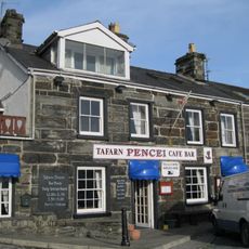
Tafarn Pencei
464 m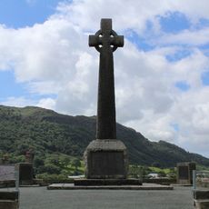
Porthmadog War Memorial
414 m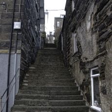
Grisiau Mawr (steps between Pencei (Cornhill) and Ffordd Garth)
535 m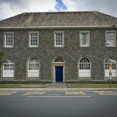
Porthmadog Telephone Exchange
261 m
Plas Ynys Tywyn
462 m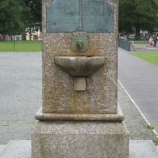
Madocks memorial fountain in The Park
328 m
Ty Toronto
544 m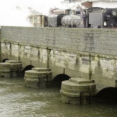
Britannia Bridge
549 m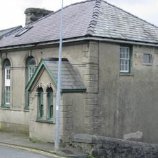
Baptist Chapel
349 m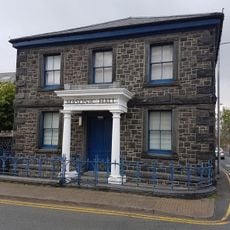
Masonic Hall
287 m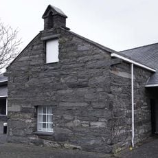
Former outbuilding of Plas Ynys Tywyn (attached to Co-op supermarket)
447 m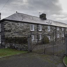
Cwrt yr Harbwr
473 m
Gatws
55 m
Wharf House
481 m
Madoc Yacht Club
592 m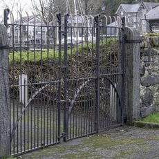
Harbour yard walls and gates to Greaves Wharf and Oakleys Wharf
457 m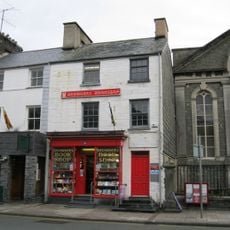
Browsers Bookshop and house
214 m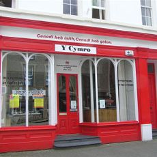
Y Cymro and house
267 m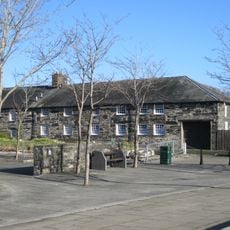
The Oakleys
475 mReviews
Visited this place? Tap the stars to rate it and share your experience / photos with the community! Try now! You can cancel it anytime.
Discover hidden gems everywhere you go!
From secret cafés to breathtaking viewpoints, skip the crowded tourist spots and find places that match your style. Our app makes it easy with voice search, smart filtering, route optimization, and insider tips from travelers worldwide. Download now for the complete mobile experience.

A unique approach to discovering new places❞
— Le Figaro
All the places worth exploring❞
— France Info
A tailor-made excursion in just a few clicks❞
— 20 Minutes