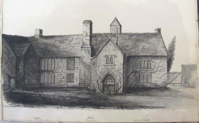
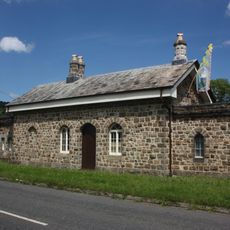
Indio, Bovey Tracey, Victorian estate in Bovey Tracey, United Kingdom
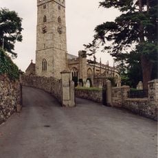
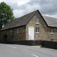
Indio is a Victorian-era estate with Tudor-style architecture located across the River Bovey near Bovey Tracey, set within woodland surroundings. The original house is Grade II listed and situated approximately half a mile from the parish church, while the grounds now contain 15 newly built four-bedroom residential homes that blend modern living with the character of the historic structure.
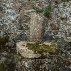
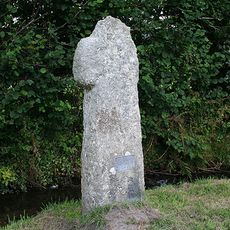
The estate originated in 1216 as a grange farm owned by St Johns Hospital of Bridgwater, a role it maintained until the dissolution of the monasteries in 1536. After this point, the land's purpose shifted multiple times throughout the following centuries.
The name evolved through different spellings including Yondeyeo, Judeyeo, and Indiho before becoming Indio. This naming history contradicts older theories that suggested religious origins for the property.
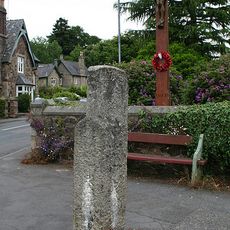
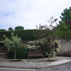
The grounds are best explored on foot, as woodland paths and riverside location offer a natural setting. Expect changeable weather typical of the Devon region, and plan your visit during daylight hours to fully appreciate the surroundings.
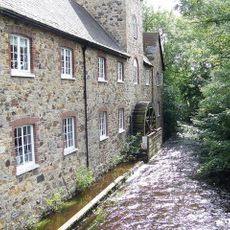
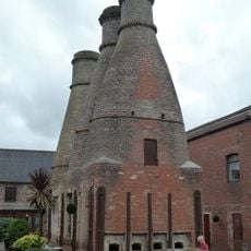
Between 1766 and 1836, the Indio Pottery operated on these grounds, making Bovey Tracey a center for ceramic manufacturing in Devon during the Industrial Revolution. This pottery business brought economic activity and skilled workers to the rural area.
The community of curious travelers
AroundUs brings together thousands of curated places, local tips, and hidden gems, enriched daily by 60,000 contributors worldwide.