
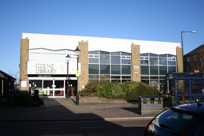
Colne Library, public library in Lancashire
Location: Colne
Elevation above the sea: 189.2497 m
Website: http://new.lancashire.gov.uk/libraries-and-archives/libraries/find-a-library/colne-library.aspx
GPS coordinates: 53.85756,-2.16594
Latest update: March 6, 2025 19:16
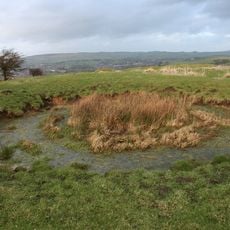
Castercliff
1.9 km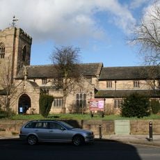
St Bartholomew's Church, Colne
289 m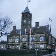
Town Hall
369 m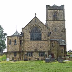
St Michael and All Angels' Church, Foulridge
1.8 km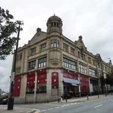
Norway House (Formerly Co Operative Emporium)
593 m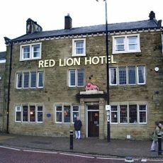
Red Lion
86 m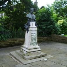
Wallace Hartley Memorial
723 m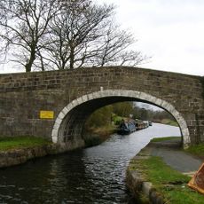
Leeds And Liverpool Canal Wanless Bridge
2.2 km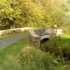
Leeds And Liverpool Canal Bridge Over Foulridge Ings Beck
2.3 km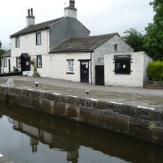
Leeds And Liverpool Canal, Top Lock Cottage
2.3 km
Fold Farmhouse
2 km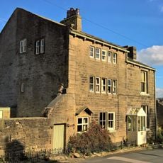
Dent Cottage Yeoman Hey
2.1 km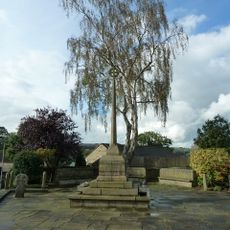
Foulridge War Memorial
2 km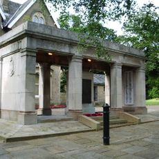
Colne War Memorial
707 m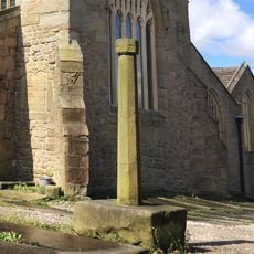
Cross in St Bartholomew's Churchyard
269 m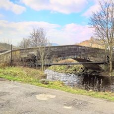
Colne Waterside Bridge
563 m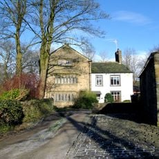
Greenfield House And Greenfield House Farm
1.6 km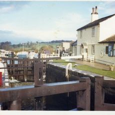
Leeds And Liverpool Canal Lock Number 45
2.3 km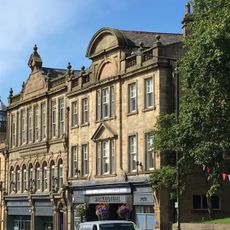
Shackleton Hall
318 m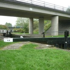
Leeds And Liverpool Canal Lock Number 49
2.3 km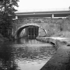
Leeds And Liverpool Canal Barrowford Road Bridge Number 143
2.3 km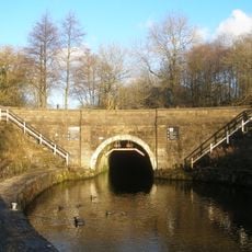
Leeds And Liverpool Canal Southern Entrance To Foulridge Tunnel
2.2 km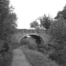
Leeds And Liverpool Canal Blakey Bridge Number 144
2.2 km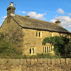
Dent Howe Farmhouse
2.1 km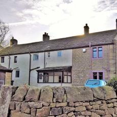
Winewall Farmhouse
2 km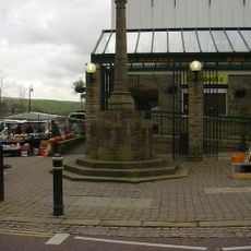
Market Cross
85 m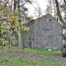
Grain Kiln With Stable To Rear Of Number 39
2 km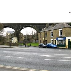
Colne Viaduct
1.1 kmReviews
Visited this place? Tap the stars to rate it and share your experience / photos with the community! Try now! You can cancel it anytime.
Discover hidden gems everywhere you go!
From secret cafés to breathtaking viewpoints, skip the crowded tourist spots and find places that match your style. Our app makes it easy with voice search, smart filtering, route optimization, and insider tips from travelers worldwide. Download now for the complete mobile experience.

A unique approach to discovering new places❞
— Le Figaro
All the places worth exploring❞
— France Info
A tailor-made excursion in just a few clicks❞
— 20 Minutes