
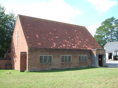
St Paul's Church, Burnthouse Lane, church in Exeter, England
Location: Exeter
Website: http://heavitreeparish.co.uk
GPS coordinates: 50.71500,-3.51306
Latest update: April 2, 2025 06:45

Exeter School
517 m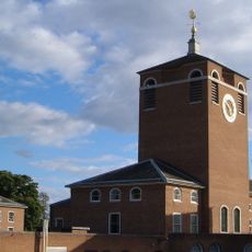
Devon County Hall
322 m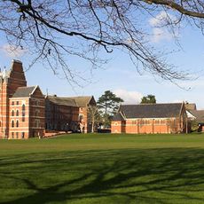
Chapel Of Exeter Grammar School
517 m
Larkby & Coach House adjoining, Victoria Park Road
300 m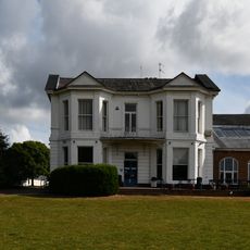
Coaver Club
393 m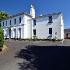
Matford House
406 m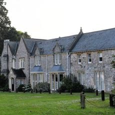
The Grange
81 m
Wall of Old Matford
166 m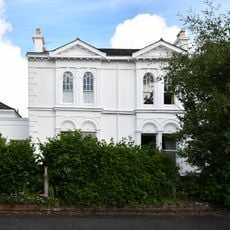
7, Lyndhurst Road
487 m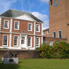
Bellair
320 m
Old Matford
145 m
Mulberry House
364 m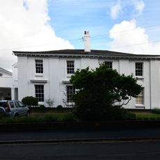
3 And 4, Lyndhurst Road
470 m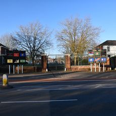
Entrance Gates And Screen Walls At Wyvern Barracks
484 m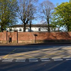
Former North West Gunners Barracks (Building 11) Wyvern Barracks
461 m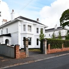
8, Lyndhurst Road
498 m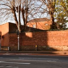
Guard House And Attached Wall, Wyvern Barracks
442 m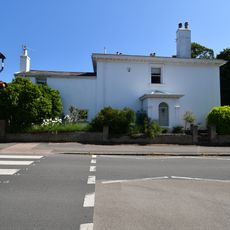
1-2, Lyndhurst Road
469 m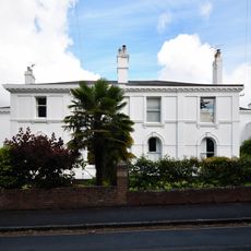
5-6, Lyndhurst Road
476 m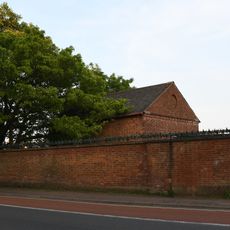
Former Magazine, Wyvern Barracks
310 m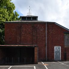
Racquets Court Immediately Nne Of Matford Lodge
309 m
Wonford Hospital Gateway And Boundary Walls
456 m
9, Lyndhurst Road
515 m
Former Coach House in grounds of 35, Wonford Road
346 m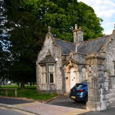
Wonford Hospital Gatehouse
472 m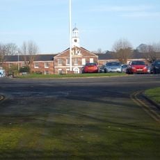
Institute In Centre Of North East Range At Wyvern Barracks
377 m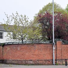
Former South East Gunners Barracks (Building 1), Wyvern Barracks
507 m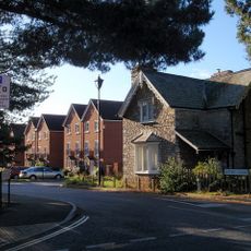
Lodge - Former Princess Elizabeth Orthopaedic Hospital
154 mVisited this place? Tap the stars to rate it and share your experience / photos with the community! Try now! You can cancel it anytime.
Discover hidden gems everywhere you go!
From secret cafés to breathtaking viewpoints, skip the crowded tourist spots and find places that match your style. Our app makes it easy with voice search, smart filtering, route optimization, and insider tips from travelers worldwide. Download now for the complete mobile experience.

A unique approach to discovering new places❞
— Le Figaro
All the places worth exploring❞
— France Info
A tailor-made excursion in just a few clicks❞
— 20 Minutes