
Brierfield Library, public library in Lancashire, UK
Location: Lancashire
Elevation above the sea: 159.5802 m
Address: Brierfield Library, Colne Road, Brierfield, Lancashire, BB9 5HW BB9 5HW BB9 5HW
GPS coordinates: 53.82482,-2.23355
Latest update: March 3, 2025 02:30

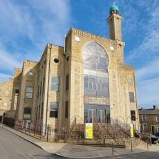
Jamia Mosque Sultania
208 m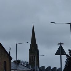
Church of St Mary
1.4 km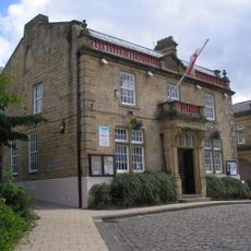
Town Hall
33 m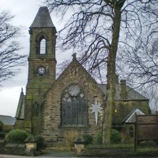
St Luke the Evangelist
409 m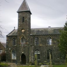
Church of St Paul
1.2 km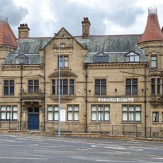
The Station Hotel
1.7 km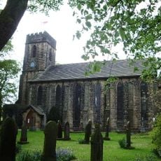
Church of St Anne
2.3 km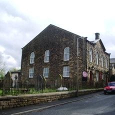
Wheatley Lane Methodist Church
2 km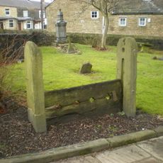
Stocks 20 Metres South Of Church Of St Paul
1.2 km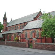
St Cuthbert's Church, Burnley
2 km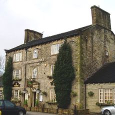
Fence Gate Inn
2.3 km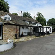
Bay Horse
2.4 km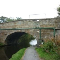
Lodge Canal Bridge
1.8 km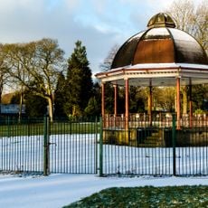
Band Stand
1.5 km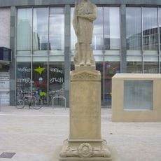
Boy Scout War Memorial
1.8 km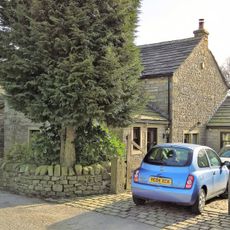
Kibble Bank Farmhouse
1.4 km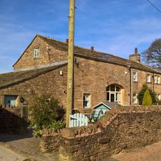
Higher Saxifield Farmhouse
2 km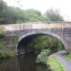
Leeds And Liverpool Canal Canal Bridge Number 138
370 m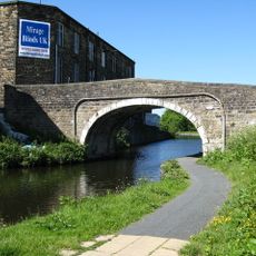
Leeds And Liverpool Canal Whitefield Bridge Number 141
1.5 km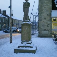
Nelson War Memorial, Lancashire
1.9 km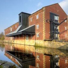
Leeds And Liverpool Canal Warehouse
1.8 km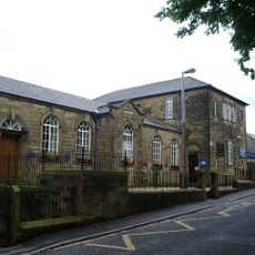
Methodist School
2 km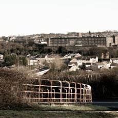
Brierfield Mills
279 m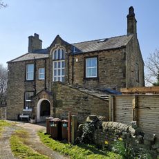
Lodge Farmhouse
1.8 km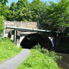
Leeds And Liverpool Canal Lomeshaye Bridge Number 140
1.3 km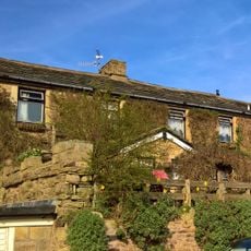
11 And 13, Marsden Road
1.9 km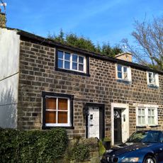
25 And 27, Marsden Road
1.9 km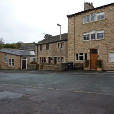
304, Wheatley Lane Road
2 kmReviews
Visited this place? Tap the stars to rate it and share your experience / photos with the community! Try now! You can cancel it anytime.
Discover hidden gems everywhere you go!
From secret cafés to breathtaking viewpoints, skip the crowded tourist spots and find places that match your style. Our app makes it easy with voice search, smart filtering, route optimization, and insider tips from travelers worldwide. Download now for the complete mobile experience.

A unique approach to discovering new places❞
— Le Figaro
All the places worth exploring❞
— France Info
A tailor-made excursion in just a few clicks❞
— 20 Minutes