
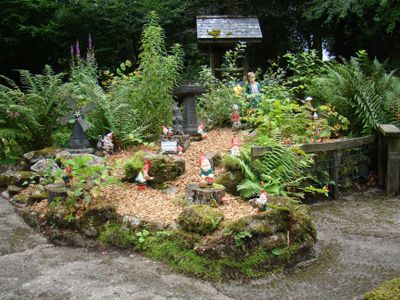
Pixieland, Family amusement park in Dartmoor, United Kingdom
The park encompasses multiple themed areas with rides, play zones, and picnic spots spread across the grounds within Dartmoor National Park.
Ken Ruth established Pixieland in 1947, creating a space that combined garden gnome manufacturing with family entertainment in the Dartmoor region.
The park maintains traditional craftsmanship by producing garden gnomes using the original molds from 1947, connecting visitors to local artisanal heritage.
The facility operates seasonally with adjusted hours during winter months and includes complimentary parking for visitors exploring the attractions.
Located at the former Pixies Holt site, the park incorporates elements of regional folklore through handmade figures crafted directly on the premises.
GPS coordinates: 50.54611,-3.88222
Latest update: April 9, 2025 18:25
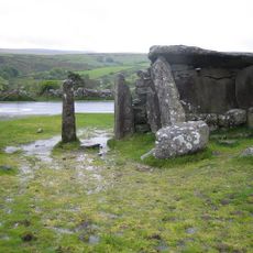
Dunnabridge Pound
2.4 km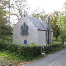
Church of St Raphael
661 m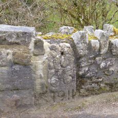
Ponsworthy Bridge
3.4 km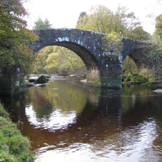
Hexworthy Or Huccaby Bridge
1 km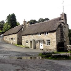
Forder Bridge
3.3 km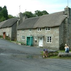
Forder Cottages (The Pair Immediately West Of The Splash)
3.3 km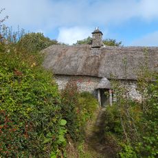
Higher Uppacott Uppacott
3.4 km
County Bridge Stone Set Into Garden Wall Of Ponsworthy House About 5 Metres North East Of Its South Gate
3.5 km
Ringleshutes tinwork
3.7 km
Foxworthy Farmhouse
2.8 km
Clapper Bridge About 20 Metres North Of Dartmeet Bridge
545 m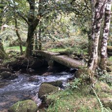
Clapper Bridge At Sx 672749
1.5 km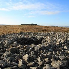
Cairns N of Corndon Tor
2.3 km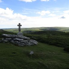
Lt E. A. Cave-Penney Memorial Cross
1.6 km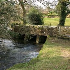
Clapper bridge about 60 metres south east of West Shallowford Farmhouse
3.2 km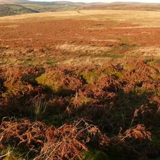
Partially enclosed stone hut circle settlement 350m south west of Horn's Cross
2.7 km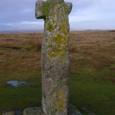
Horn's Cross
2.5 km
Wayside cross on Down Ridge 1.1km south west of Saddle Bridge
2.5 km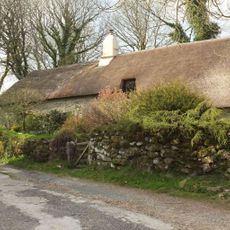
Hexworthy Farmhouse
1.5 km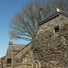
Barn Approximately 10 Metres To South-East Of Dunnabridge Pound Farmhouse
2.5 km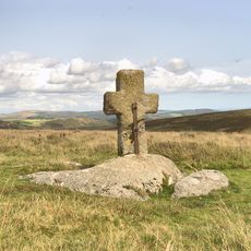
Wayside cross on Down Ridge 730m south west of Saddle Bridge
2.3 km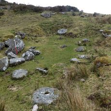
Blowing house and mill at Gobbet
2.3 km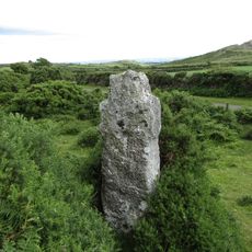
Ouldsbroom Cross
1.7 km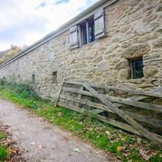
Pigsty About 30 Metres South East Of Sweaton Farmhouse
3.3 km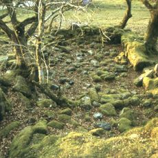
Blowing houses at Week Ford
1.3 km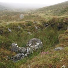
Blowing house on Down Ridge
3 km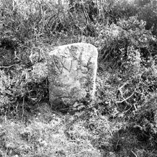
Milestone, Sherberton Common, below Corndon Down, at slow bends between crossways, 400m SW of Lock's Gate
2.3 km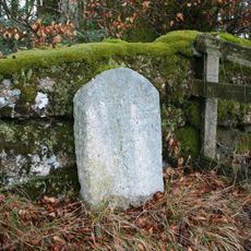
Milestone, 100m E of entrance to Brimpts Farm
147 mVisited this place? Tap the stars to rate it and share your experience / photos with the community! Try now! You can cancel it anytime.
Discover hidden gems everywhere you go!
From secret cafés to breathtaking viewpoints, skip the crowded tourist spots and find places that match your style. Our app makes it easy with voice search, smart filtering, route optimization, and insider tips from travelers worldwide. Download now for the complete mobile experience.

A unique approach to discovering new places❞
— Le Figaro
All the places worth exploring❞
— France Info
A tailor-made excursion in just a few clicks❞
— 20 Minutes