
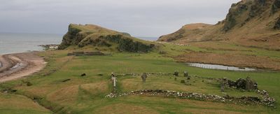
St Ninian's Chapel,Sanda, architectural structure in Argyll and Bute, Scotland, UK
Location: Argyll and Bute
Location: Southend
GPS coordinates: 55.28281,-5.57996
Latest update: April 24, 2025 02:52
Island Davaar
15.8 km
Dunaverty Castle
4.9 km
Campbeltown Loch
15 km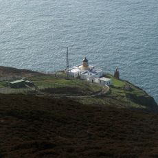
Mull of Kintyre Lighthouse
14.5 km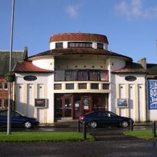
Picture House
15.8 km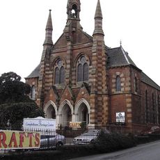
Campbeltown Heritage Centre
15.7 km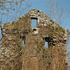
Kilkerran Castle
14.9 km
Campbeltown Town Hall
15.8 km
Kilchrist Castle
13.8 km
Crosshill Loch
14.7 km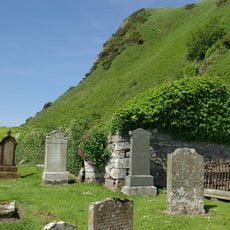
St Columba's Chapel
6.2 km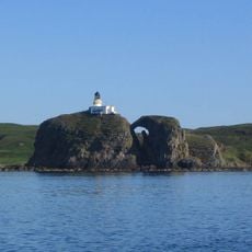
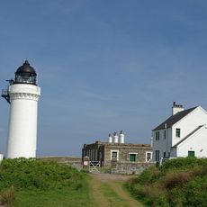
Sanda Island Lighthouse
885 m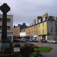
Campbeltown Cross
15.9 km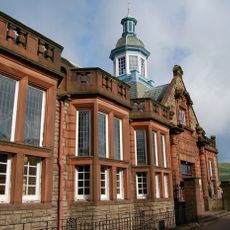
Campbeltown Library and Museum
15.8 km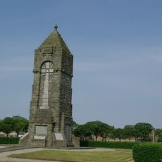
War Memorial, Esplanade, Campbeltown
16.2 km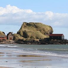
Dunaverty Castle
4.9 km
Balmavicar Burn,township 170m N of
14.5 km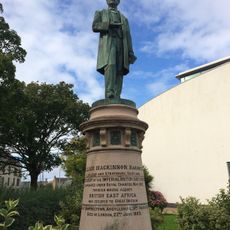
Dumbarton, Kirktonhill, Helenslee Road, Keil School, Statue Of William Mackinnon
16.1 km
Balnabraid Glen,cairn 50m W of Corphin Bridge
11.7 km
Kilchrist,dun 450m ESE of
13.4 km
Glenehervie
6.4 km
Campbeltown, Kilkerran Road, Former Lifeboat House
15.1 km
Carskey House, Lodge And Gate Piers
7.8 km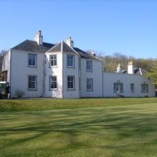
Oatfield House
14.2 km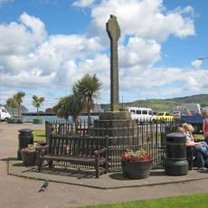
Campbeltown Cross,Hall Street
15.9 km
Rubh' a' Mharaiche, dun 450m E of
15.6 km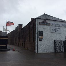
Campbeltown, Glebe Street, Springbank Distillery
16 km
Campbeltown, 10 -12 Glebe Street
15.9 kmReviews
Visited this place? Tap the stars to rate it and share your experience / photos with the community! Try now! You can cancel it anytime.
Discover hidden gems everywhere you go!
From secret cafés to breathtaking viewpoints, skip the crowded tourist spots and find places that match your style. Our app makes it easy with voice search, smart filtering, route optimization, and insider tips from travelers worldwide. Download now for the complete mobile experience.

A unique approach to discovering new places❞
— Le Figaro
All the places worth exploring❞
— France Info
A tailor-made excursion in just a few clicks❞
— 20 Minutes