
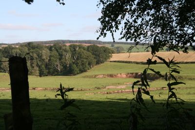
Ulston Moor,Roman camp 600m N of Overwells
Ulston Moor,Roman camp 600m N of Overwells, minor architectural structure in Scottish Borders,
Location: Scottish Borders
Location: Jedburgh
GPS coordinates: 55.48778,-2.49608
Latest update: March 4, 2025 02:27
Riverside Park, Jedburgh
3.1 km
Hartrigge House
2.7 km
Crailing House
2.7 km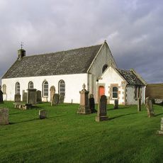
Oxnam Parish Church
3 km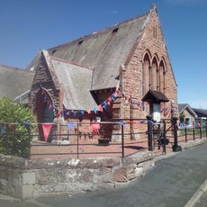
Crailing Parish Church
3.4 km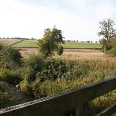
Cappuck Roman fort
901 m
Crailing House, West Lodge
2.9 km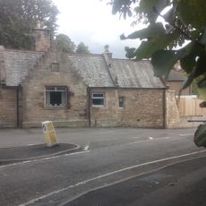
Hartrigge Lodge, Hartrigge House
3.6 km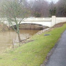
Station Bridge
3.1 km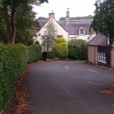
Jedneuk, Bonjedward House
3.5 km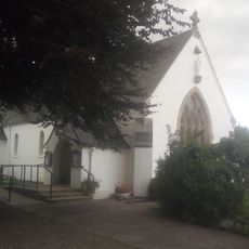
St Mary's Roman Catholic Church And Presbytery
3.5 km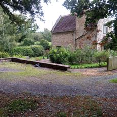
Hartrigge, Wildcat Gate
2.7 km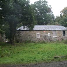
Northern Stable Cottage, Bonjedward House
3.4 km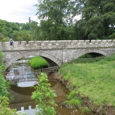
Crailing Bridge
2.9 km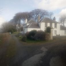
Mount Ulston house
2.6 km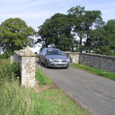
Cappuck Bridge
1.7 km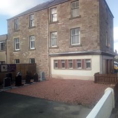
Balmanno House, 55 Bongate, Jedburgh
3.4 km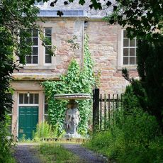
Bonjedward House
3.3 km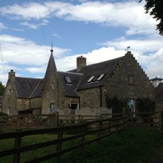
Hartrigge House stables and walled garden
2.8 km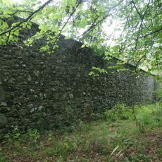
Bonjedward House, Walled Garden
3.4 km
91 Bongate, Jedburgh
3.3 km
Bonjedward, New Mill Farmhouse
3.2 km
New Mill Farm, Mill And Outbuildings
3.2 km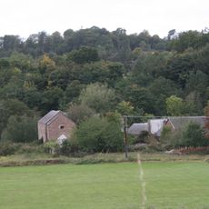
Bonjedwardmill
3.2 km
Birkhill, Sharplaw Road, Jedburgh
3.6 km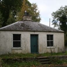
Lodge, Bonjedward House
3.3 km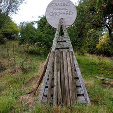
Crailing Orchard
2.7 km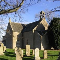
Crailing Parish Church, Churchyard
3.4 kmVisited this place? Tap the stars to rate it and share your experience / photos with the community! Try now! You can cancel it anytime.
Discover hidden gems everywhere you go!
From secret cafés to breathtaking viewpoints, skip the crowded tourist spots and find places that match your style. Our app makes it easy with voice search, smart filtering, route optimization, and insider tips from travelers worldwide. Download now for the complete mobile experience.

A unique approach to discovering new places❞
— Le Figaro
All the places worth exploring❞
— France Info
A tailor-made excursion in just a few clicks❞
— 20 Minutes