
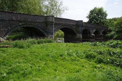
Weetman's Bridge, road bridge in Staffordshire
Location: Staffordshire
Inception: 1888
GPS coordinates: 52.78449,-1.99578
Latest update: September 23, 2025 16:56
Staffordshire and Worcestershire Canal
1.8 km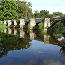
Essex Bridge, Staffordshire
2 km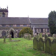
Parish Church of St Michael and All Angels, Colwich
788 m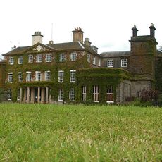
Bishton Hall
2 km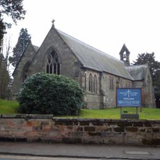
Church of St Stephen, Great Haywood
1.9 km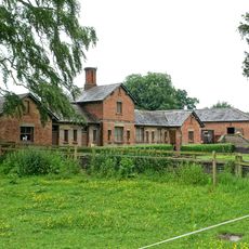
North range of outbuildings of Shugborough Park Farm
1.7 km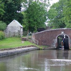
Trent and Mersey Canal Colwich Bridge Number 71
629 m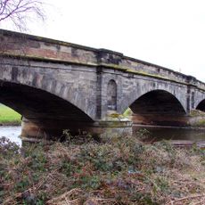
Wolseley Bridge
1.7 km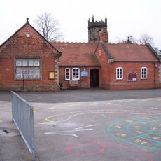
Church of England Primary School
836 m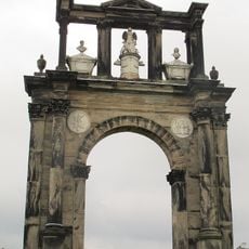
Triumphal Arch at Shugborough Hall
1.9 km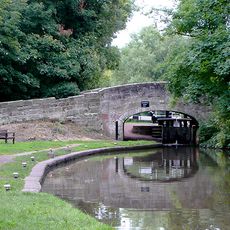
Trent Lane Canal Bridge
2 km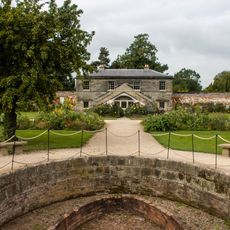
Walled Garden And Gardeners Cottage
1.6 km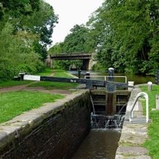
Trent and Mersey Canal Colwich Lock number 21
624 m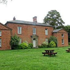
Farmhouse of Shugborough Park Farm
1.6 km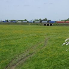
Shugborough Viaduct
585 m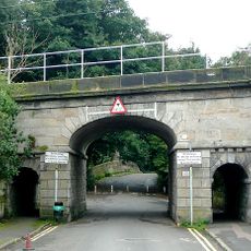
Trent Lane Railway Bridge
2 km
1-4, Trent Lane
2 km
Temple of the Winds at Shugborough Hall to north east of the house
1.7 km
Lamb and Flag Inn - N and WS Taylor's premises
719 m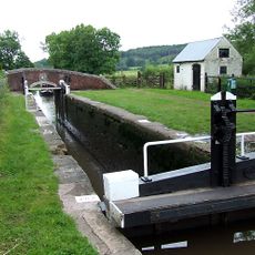
Trent and Mersey Canal Colwich Lock Cottage privy
625 m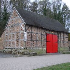
Barn to south east of Wolseley Arms
1.8 km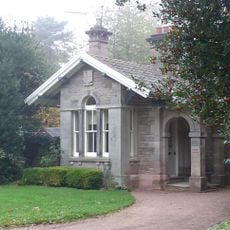
Trent Lodge
2 km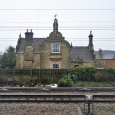
Former Railway Station House
752 m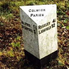
Milepost, by White Barn Farm
1.7 km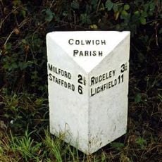
Milepost, Weetman's Bridge / Seven Springs
59 m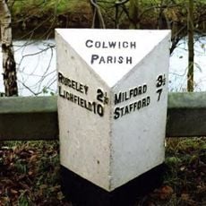
Milepost, W of Wolseley Arms PH
1.6 km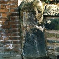
Milestone, Wolseley Bridge Farm, between Colwich & Wolsley Bridge
1.6 km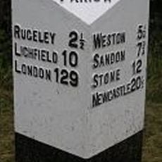
Milepost, between Colwich & Wolsley Bridge
1.5 kmReviews
Visited this place? Tap the stars to rate it and share your experience / photos with the community! Try now! You can cancel it anytime.
Discover hidden gems everywhere you go!
From secret cafés to breathtaking viewpoints, skip the crowded tourist spots and find places that match your style. Our app makes it easy with voice search, smart filtering, route optimization, and insider tips from travelers worldwide. Download now for the complete mobile experience.

A unique approach to discovering new places❞
— Le Figaro
All the places worth exploring❞
— France Info
A tailor-made excursion in just a few clicks❞
— 20 Minutes