
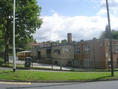
Tinshill and Cookridge Social Club, club in Leeds, West Yorkshire
Location: Leeds
Address: Tinshill and Cookridge Social Club, Woodnook Drive, Cookridge, Leeds, LS16 6PF LS16 6PF
GPS coordinates: 53.84535,-1.62507
Latest update: March 23, 2025 15:29
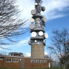
Tinshill BT Tower
1.4 km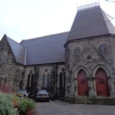
Grove Methodist Church
1.4 km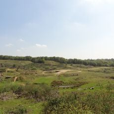
Woodside Quarry
841 m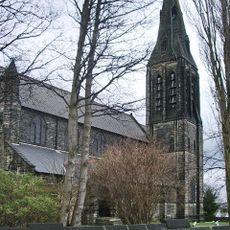
Church of St Margaret
1.3 km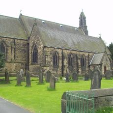
Church of St James
531 m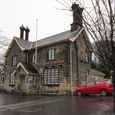
Fox And Hounds Public House
480 m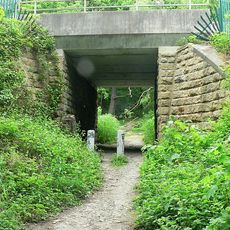
Daffy Wood
663 m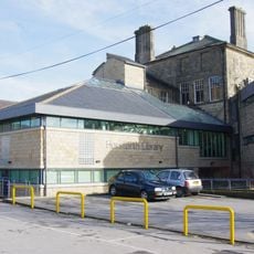
Horsforth Library
1 km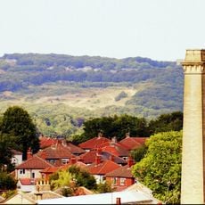
Clayton Wood
782 m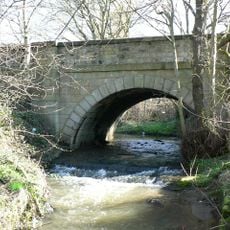
Bridge Over Moseley Beck
1.3 km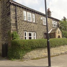
2,6 And 8, Bachelor Lane
801 m
Station House With Horsforth Pottery And Barn (Both Attached)
422 m
Lodge At Cookridge Hospital
745 m
Croft House
867 m
Lee Lane Farmhouse
1.4 km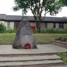
Stanhope Drive War Memorial
984 m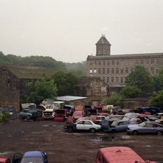
Former Corn Mill Building At Dickinson's Auto Spares, Corn Mill Fold
1.2 km
Clapper Bridge
265 m
Grove Manse
1.4 km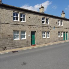
79,81 And 83, Town Street
1.2 km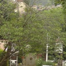
Troy Hill
423 m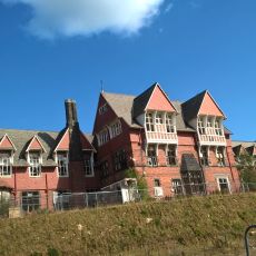
Old Block At Cookridge Hospital
675 m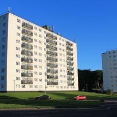
Clayton Court Flats
1.3 km
Clayton House
1.1 km
Ida Convalescent Hospital
718 m
123-135, Town Street
985 m
Stone hut circle settlement in Clayton Wood on the south west side of Iveson Drive
1.1 km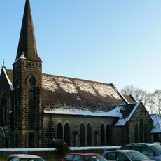
Woodside Methodist Sunday School And Hall
1.3 kmReviews
Visited this place? Tap the stars to rate it and share your experience / photos with the community! Try now! You can cancel it anytime.
Discover hidden gems everywhere you go!
From secret cafés to breathtaking viewpoints, skip the crowded tourist spots and find places that match your style. Our app makes it easy with voice search, smart filtering, route optimization, and insider tips from travelers worldwide. Download now for the complete mobile experience.

A unique approach to discovering new places❞
— Le Figaro
All the places worth exploring❞
— France Info
A tailor-made excursion in just a few clicks❞
— 20 Minutes