
Fallowlees Flush, Site of Special Scientific Interest (SSSI) in mid-Northumberland, England
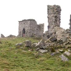
Rothley Castle
5.1 km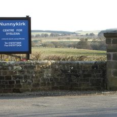
Nunnykirk Hall
5.2 km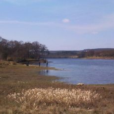
Fontburn
1.4 km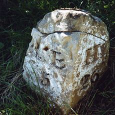
Milestone Circa A Quarter Of A Mile West Of Coltpark
3.6 km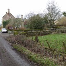
Hartington Hall
5.6 km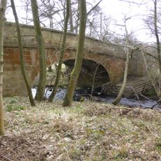
Crossford Bridge Over River Font
6.7 km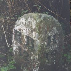
Milestone 160 Metres North Of Cambo School
7.7 km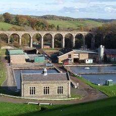
Fontburn Viaduct
2 km
Milestone At Ewesley Station
3 km
Tosson Burgh
6.9 km
Round cairn on Garleigh Hill, 790m north east of Lordenshaw
6.3 km
Pill Box At Nu 035 012
7.4 km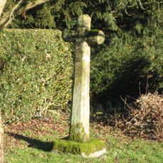
Netherwitton Village Cross In Garden Of Font House
7.6 km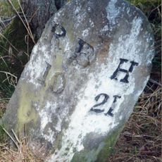
Milestone At Rothley Crossyards
4.5 km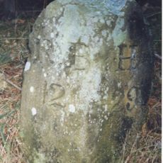
Milestone Circa A Quarter Of A Mile East Of Lordenshaw
5.6 km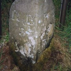
Milestone Circa A Quarter Of A Mile West Of Holling Hill
4.6 km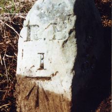
Milestone Circa 1 Mile South Of Rothbury
7.1 km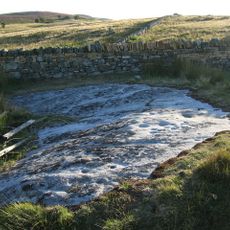
Cup and ring marked rock and adjacent stone setting, 820m east of Whittondean Farm
7.2 km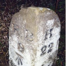
Milestone At Donkin Rigg Road End
3.9 km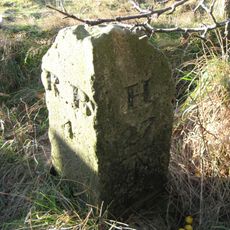
Milestone Circa 200 Yards South West Of Coldside
3.8 km
Steng Cross
7.5 km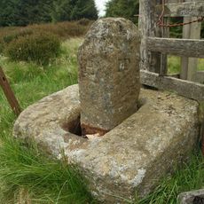
Manside defended settlement and medieval cross
4.9 km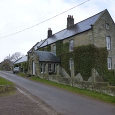
Tosson Tower Farmhouse
6.9 km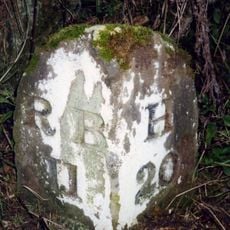
Milestone Circa A Quarter Of A Mile South Of Hartington Road End
6.1 km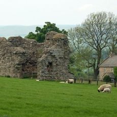
Tosson Tower
6.9 km
Winter's Gibbet and adjacent crossbase of Steng Cross
7.5 km
Cup and ring marked rock, 940m south-west of Wagtail Farm
7.4 km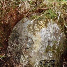
Milestone, Codger Fort
3.7 kmReviews
Visited this place? Tap the stars to rate it and share your experience / photos with the community! Try now! You can cancel it anytime.
Discover hidden gems everywhere you go!
From secret cafés to breathtaking viewpoints, skip the crowded tourist spots and find places that match your style. Our app makes it easy with voice search, smart filtering, route optimization, and insider tips from travelers worldwide. Download now for the complete mobile experience.

A unique approach to discovering new places❞
— Le Figaro
All the places worth exploring❞
— France Info
A tailor-made excursion in just a few clicks❞
— 20 Minutes