
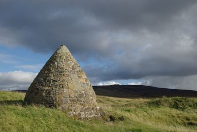
Macadam's Cairn, architectural structure in East Ayrshire, Scotland, UK
Location: East Ayrshire
Location: Muirkirk
Part of: Muirkirk, remains of tar works, mines and structures E of Garpel Water
GPS coordinates: 55.50790,-4.06876
Latest update: March 14, 2025 05:29
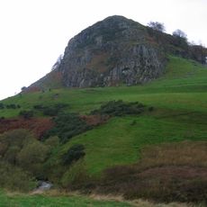
Loudoun Hill
14.9 km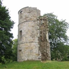
Douglas Castle
16 km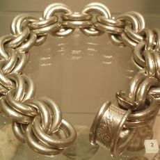
Whitecleuch Chain
13.1 km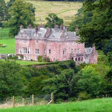
Sorn Castle
14.7 km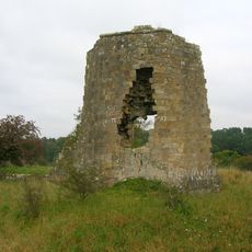
Terringzean Castle
14.8 km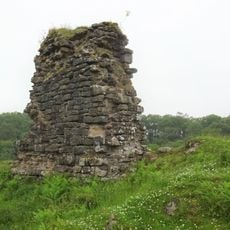
Kyle Castle,200m E of Dalblair
8 km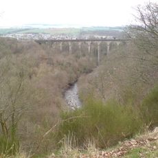
Woodroad Viaduct
13.1 km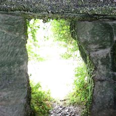
Murdoch's Cave
10.5 km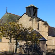
Church of St. John, Cumnock, Aryshire, Scotland
13.8 km
Lands of Borland, Barony of Cumnock
13.6 km
Glaisnock Viaduct
13.6 km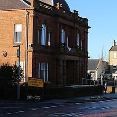
Town Hall, Glaisnock Street, Cumnock
13.8 km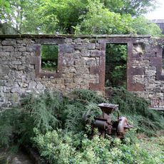
Bello Mill
10.6 km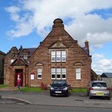
Town Hall
14.4 km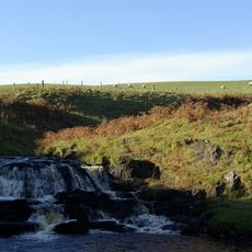
Garpel Linn
7.8 km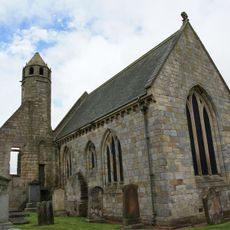
St Bride's Chapel
15 km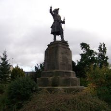
Douglas, Monument To James, Earl Of Angus
14.9 km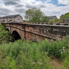
Nith Bridge
13.9 km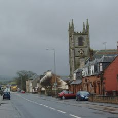
Martyrs Parish Church
14.4 km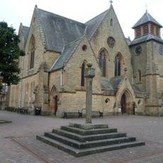
Cumnock, The Square, Market Cross
13.8 km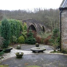
Sorn Old Bridge
14.5 km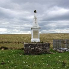
Aird's Moss, Covenanters Monument
5.2 km
Picture House
13.7 km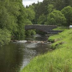
Dalblair Bridge, Glenmuir Water, Dalblair
8.2 km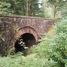
Lady's Bridge, Nest Burn, East Drive, Dumfries House
15.9 km
Airds Moss RSPB Reserve
9.6 km
Holmhead, Glaisnock House
14.3 km
Greenockmains Bridge
6.5 kmReviews
Visited this place? Tap the stars to rate it and share your experience / photos with the community! Try now! You can cancel it anytime.
Discover hidden gems everywhere you go!
From secret cafés to breathtaking viewpoints, skip the crowded tourist spots and find places that match your style. Our app makes it easy with voice search, smart filtering, route optimization, and insider tips from travelers worldwide. Download now for the complete mobile experience.

A unique approach to discovering new places❞
— Le Figaro
All the places worth exploring❞
— France Info
A tailor-made excursion in just a few clicks❞
— 20 Minutes