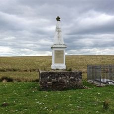
Kyle Castle,200m E of Dalblair, Medieval tower house in East Ayrshire, Scotland
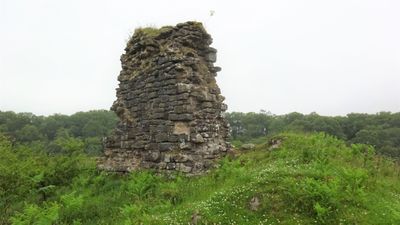
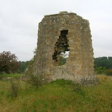
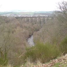
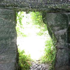
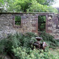
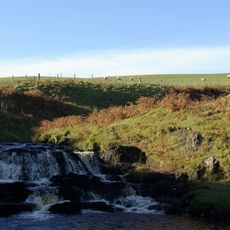
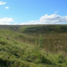
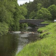
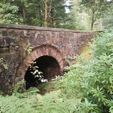
Kyle Castle is a medieval tower house situated on a peninsula where Guelt Water and Glenmuir Water meet, with steep slopes protecting it on three sides. The north wall remains the best-preserved section, a stone structure that has survived despite centuries of weathering and decay.
The first written record appears in 1445 when the lands belonged to Melrose Abbey before passing to John Farquhar of Gilmilnscroft. This shift in ownership marked a change in local power during medieval Scotland's complex territorial arrangements.
The name reflects the surrounding waterways that shaped the area's geography and the lives of those who lived here. The remaining structure shows how medieval families positioned their homes at defensible locations to protect themselves and their lands.
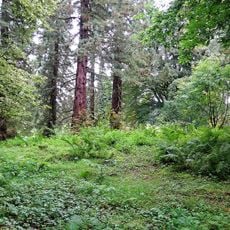
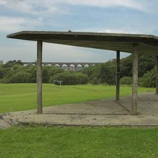
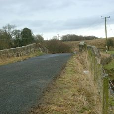
The site sits on a peninsula between two streams, so access can be challenging in wet weather due to the surrounding steep slopes. Sturdy footwear and time to explore are recommended since the area remains largely undeveloped and countryside in nature.
A 16th-century map by Timothy Pont depicts the structure with three towers enclosed by a curtain wall, unlike later cartographic representations. This suggests the building underwent significant changes or damage over the centuries.
The community of curious travelers
AroundUs brings together thousands of curated places, local tips, and hidden gems, enriched daily by 60,000 contributors worldwide.