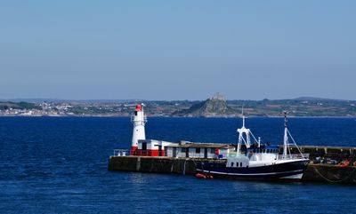
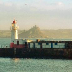
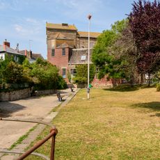
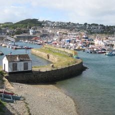
Newlyn tidal observatory and part of the south pier, Tidal observatory in Penzance, England
The Newlyn Tidal Observatory is a small striped concrete building at the end of South Pier in Newlyn, a fishing village near Penzance. It contains a stilling well connected directly to the sea, along with a brass bolt that serves as the fixed reference point for all measurements.
The observatory was set up in the early 1900s to record sea levels in a consistent and systematic way over time. The readings taken here were later adopted as the official reference level for all height measurements across mainland Britain.
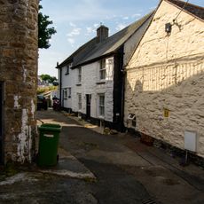
Generations of researchers have worked at this site to understand how sea levels change, and the place is known among scientists worldwide as a key location for this work. The red and white building at the pier's end remains part of the everyday view for locals who fish or walk along the waterfront.
The building sits at the end of South Pier and can be seen from outside at any time. Visiting at low tide gives a clearer view of the pier's surroundings and the lower part of the structure.
The data recorded here spans more than a century without a single gap, making it one of the world's longest unbroken sea level records. Part of what makes this possible is the geological stability of the site itself, which limits interference from local ground movement.
The community of curious travelers
AroundUs brings together thousands of curated places, local tips, and hidden gems, enriched daily by 60,000 contributors worldwide.