
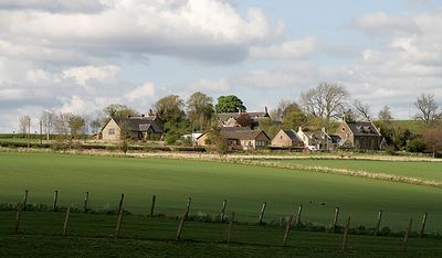
Nenthorn, Scottish parish in Scottish Borders, Scotland, UK
Location: Scottish Borders
Part of: Presbytery of Kelso
Shares border with: Stichill, Ednam, Kelso, Smailholm, Earlston, Hume
GPS coordinates: 55.63173,-2.50719
Latest update: March 3, 2025 21:14
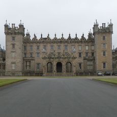
Floors Castle
4.2 km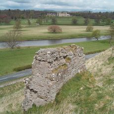
Roxburgh Castle
5.1 km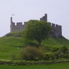
Hume Castle
4.6 km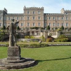
Mellerstain House
3.7 km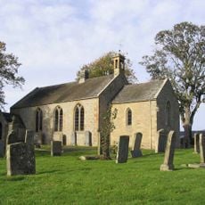
Ednam Church
5.5 km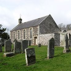
Stichill Kirk
3 km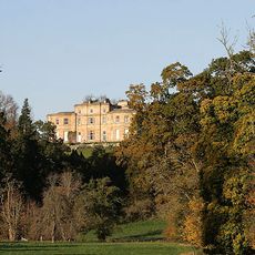
Newton Don
2.8 km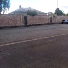
Kelso, Roxburgh Street, Walton Hall
5.4 km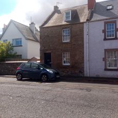
132 Roxburgh Street, Kelso
5.4 km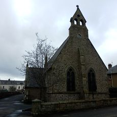
St Mary's Rc Church, Bowmont Street, Kelso
5.3 km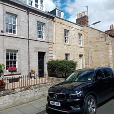
4 Winchester Row, Kelso
5.5 km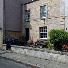
3 Winchester Row, Kelso
5.5 km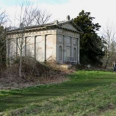
Springwood House, Scott-douglas Mausoleum
5.3 km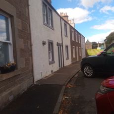
142 Roxburgh Street, Kelso
5.3 km
134 Roxburgh Street, Kelso
5.4 km
Kelso, Bowmont Street, Kelso High School
5.3 km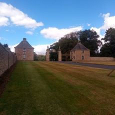
Floors castle, Gateway and Lodges
5.2 km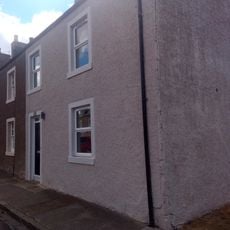
Kelso, 146 Roxburgh Street
5.3 km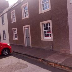
Kelso, 144 Roxburgh Street
5.3 km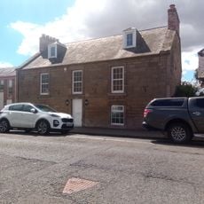
Kelso, 126 Roxburgh Street
5.4 km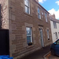
Haybank, 140 Roxburgh Street, Kelso
5.3 km
Kelso, Bowmont Street, Orchard Cottage And Dovecot
5.2 km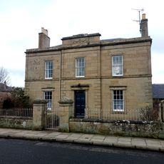
Kelso, Bowmont Street, Orchard House
5.2 km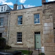
5 Winchester Row, Kelso
5.5 km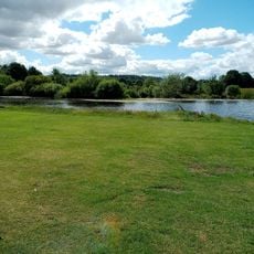
Kelso, Cauld On River Tweed
5.5 km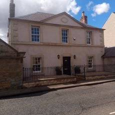
Kelso, 108 Roxburgh Street, Falcon Hall
5.5 km
Kelso, Roxburgh Street, Walton Hall, Stable Wing
5.3 km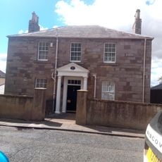
Kelso, 106 Roxburgh Street
5.5 kmReviews
Visited this place? Tap the stars to rate it and share your experience / photos with the community! Try now! You can cancel it anytime.
Discover hidden gems everywhere you go!
From secret cafés to breathtaking viewpoints, skip the crowded tourist spots and find places that match your style. Our app makes it easy with voice search, smart filtering, route optimization, and insider tips from travelers worldwide. Download now for the complete mobile experience.

A unique approach to discovering new places❞
— Le Figaro
All the places worth exploring❞
— France Info
A tailor-made excursion in just a few clicks❞
— 20 Minutes