
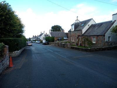
Bowden, Scottish parish in Scottish Borders, Scotland, UK
Location: Scottish Borders
Part of: Presbytery of Selkirk
Shares border with: St Boswells, Ancrum, Lilliesleaf, Selkirk, Galashiels, Melrose
GPS coordinates: 55.55277,-2.73408
Latest update: April 7, 2025 21:08
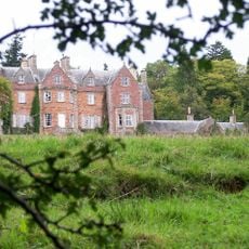
Eildon Hall
4.1 km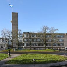
Council Headquarters, Newtown St Boswells
4.7 km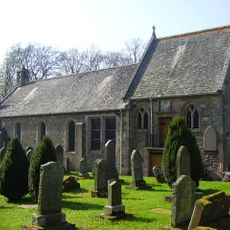
Bowden Church
2 km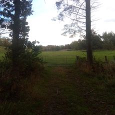
Park Bridge, Riddell
5 km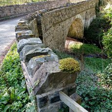
Bowden Bridge
2 km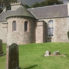
Lilliesleaf Parish Church
3.7 km
Toftbarns Bridge
2.8 km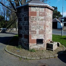
Water Pump, Bowden
2.2 km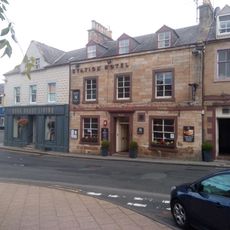
Station Hotel, 26 Market Square, Melrose
5 km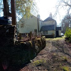
Manse, Bowden
1.9 km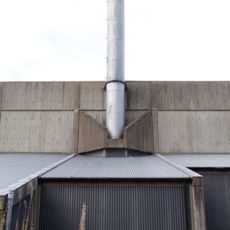
Former Dingleton Hospital Boiler House
4.3 km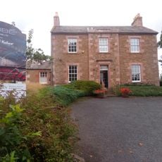
Melrose, Dingleton Road, Eildon House
4.9 km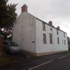
Cockspurs, Lilliesleaf
3.9 km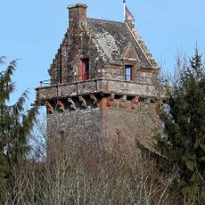
Riddell, The General's Tower
4.5 km
Bewlie Orchard
3.9 km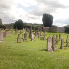
Lilliesleaf Parish Church, Churchyard
3.7 km
Eildon Hill North
4.1 km
Melrose Library
5 km
The School House, Bowden
2.2 km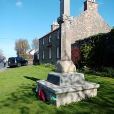
Market Cross, Bowden
2.2 km
Cavers Carre
2.6 km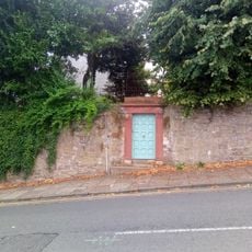
Melrose, 3 Dingleton Road, Mavisbank
4.9 km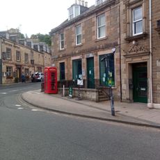
Library And Flat, 18-20 Market Square, Melrose
5 km
Earlston Library
5 km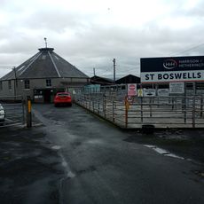
Newton St Boswells, Auction Mart, Livestock Ring
4.8 km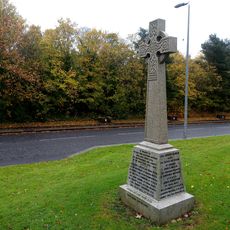
Newtown St Boswells, Newtown St Boswells War Memorial
4.8 km
Lilliesleaf Manse
3.8 km
Linthill House
2.7 kmReviews
Visited this place? Tap the stars to rate it and share your experience / photos with the community! Try now! You can cancel it anytime.
Discover hidden gems everywhere you go!
From secret cafés to breathtaking viewpoints, skip the crowded tourist spots and find places that match your style. Our app makes it easy with voice search, smart filtering, route optimization, and insider tips from travelers worldwide. Download now for the complete mobile experience.

A unique approach to discovering new places❞
— Le Figaro
All the places worth exploring❞
— France Info
A tailor-made excursion in just a few clicks❞
— 20 Minutes