
Gartly, Scottish parish in Aberdeenshire, Scotland, UK
Location: Aberdeenshire
Shares border with: Drumblade, Insch, Kennethmont, Rhynie, Cabrach, Glass, Huntly
GPS coordinates: 57.39680,-2.82418
Latest update: March 3, 2025 05:49
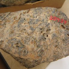
Rhynie chert
6.8 km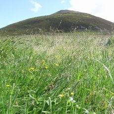
Tap o' Noth
5.5 km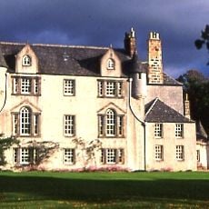
Leith Hall
5.7 km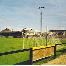
Christie Park, Huntly
6.3 km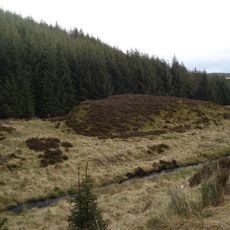
Wormy Hillock Henge
6.6 km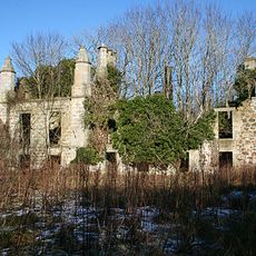
Lessendrum
10.3 km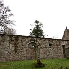
St Mary's Kirk, Auchindoir
10.3 km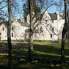
Beldorney Castle
8.7 km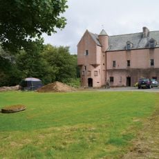
Druminnor Castle
8 km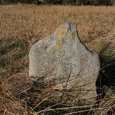
Ardlair Stone
8.2 km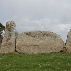
Stonehead
11.1 km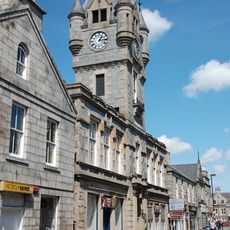
Stewart's Hall, 15-17 Gordon Street, Huntly
6 km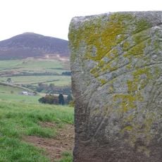
Craw Stane
8 km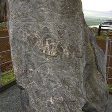
Picardy Symbol Stone
11.2 km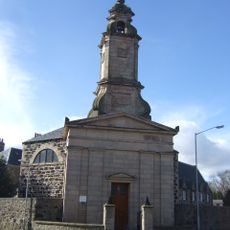
Huntly, Chapel Street, St Margaret's Rc Church
6.3 km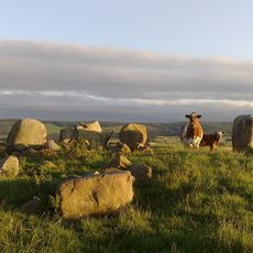
Ardlair, stone circle 450m SW of
7.9 km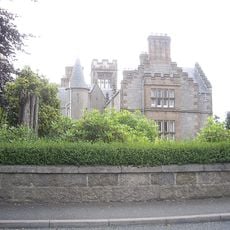
Huntly, Gladstone Road, Alexander Scott's Hospital
5.9 km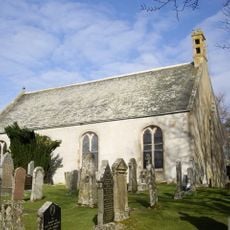
Glass Parish Church
9.1 km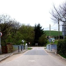
Bridge, Gartly
2.6 km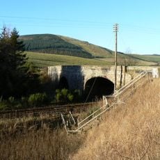
Hewelts of Kennethmont, New Bridge
3.7 km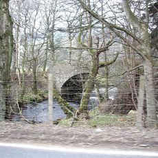
Kirkney Bridge
1.4 km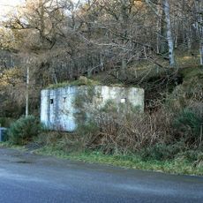
Mains of Cults, pill box 600m NW of
3.7 km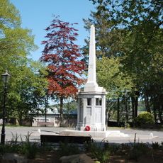
Huntly, War Memorial
6.3 km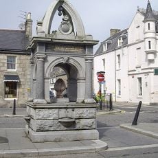
Fountain, The Square, Huntly
6.1 km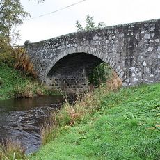
Bridge, Mill Of Gartly
2 km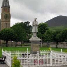
Rhynie and Kearn war memorial
7.3 km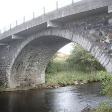
Bridge of Gibston
6.6 km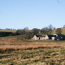
Old Manse Inn Farm
9.4 kmVisited this place? Tap the stars to rate it and share your experience / photos with the community! Try now! You can cancel it anytime.
Discover hidden gems everywhere you go!
From secret cafés to breathtaking viewpoints, skip the crowded tourist spots and find places that match your style. Our app makes it easy with voice search, smart filtering, route optimization, and insider tips from travelers worldwide. Download now for the complete mobile experience.

A unique approach to discovering new places❞
— Le Figaro
All the places worth exploring❞
— France Info
A tailor-made excursion in just a few clicks❞
— 20 Minutes