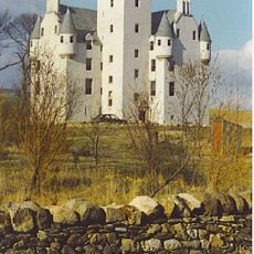
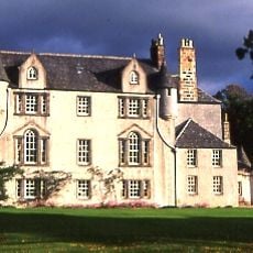
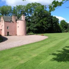
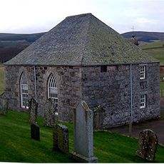
Druminnor Castle, 15th-century castle in Aberdeenshire, Scotland.
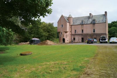
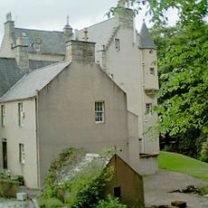
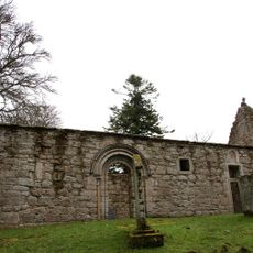
Druminnor Castle is a 15th-century castle in Aberdeenshire built in an L-shaped plan with three vaulted basements and a great hall on the first floor. A round tower containing a staircase decorated with armorial panels connects the different sections of the structure.
King James II granted permission to build the castle in 1456, and it became the headquarters of the Lords of Forbes for over 500 years. In 1571 a major clash between rival noble families took place within its walls, marking a turning point in regional power struggles.
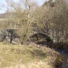
The castle shows how Scottish noble families built their fortifications with its strategic position overlooking the Kean Burn near the village of Rhynie. The location demonstrates how local lords chose places that controlled the surrounding land and resources.
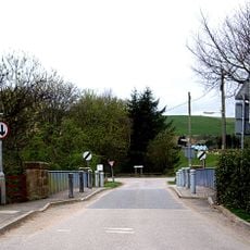
The site is accessible through local roads in a rural setting surrounded by open fields and countryside. Visitors should keep in mind that this is an inhabited historic building, so access may depend on the season and current occupancy.
A violent clash in 1571 resulted in the deaths of twenty members of the Gordon family within the great hall, a shocking moment in the feud between rival clans. This tragedy stands as a reminder of the intense power struggles that shaped the history of Scottish fortresses.
The community of curious travelers
AroundUs brings together thousands of curated places, local tips, and hidden gems, enriched daily by 60,000 contributors worldwide.