
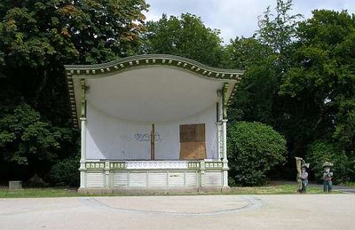
Bandstand, Centre Vale Park, bandstand in Todmorden, Yorkshire, UK
Location: Todmorden
Inception: 1914
Official opening: June 26, 1914
GPS coordinates: 53.71947,-2.10473
Latest update: October 2, 2025 13:03
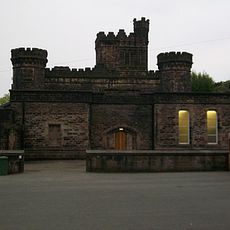
Dobroyd Castle
1 km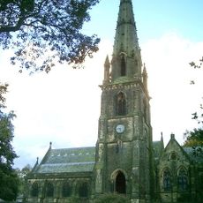
Todmorden Unitarian Church
1 km
Todmorden Town Hall
784 m
Todmorden War Memorial
226 m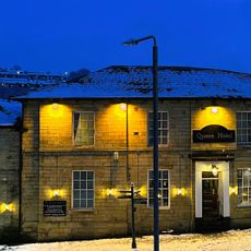
Queen Hotel
745 m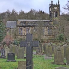
Christ Church
480 m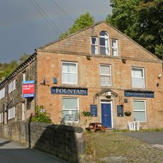
The Fountain Public House And Two Attached Cottages To West
631 m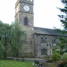
Parish Church of St Mary, Todmorden
772 m
Hippodrome Theatre, Todmorden
985 m
Plunge bath to south of Stones House in ground
1.4 km
Weavers Arms Public House
276 m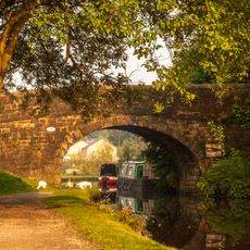
Baltimore Bridge
1.1 km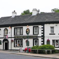
The Golden Lion Hotel
912 m
Todmorden Library
850 m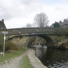
Kilnhurst Bridge
1.4 km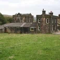
Model Farm To Dobroyd Castle
1.2 km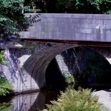
Canal Bridge
987 m
Lydgate Viaduct
1.5 km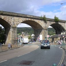
Todmorden Viaduct
719 m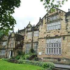
Todmorden Hall
795 m
The Sourhall
1.4 km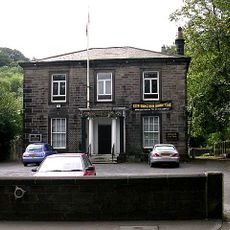
Todmorden Working Men's Social Club
945 m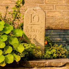
Rochdale Canal Milestone On Canal Towpath To North Of Todmorden Lock Number 19 At Ngr Sd 935240
865 m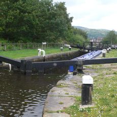
Rochdale Canal Lock 21 Shade Lock
1.4 km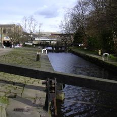
Rochdale Canal Lock 18 Shop Lock
918 m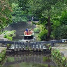
Rochdale Canal Lock 19 Todmorden Lock
867 m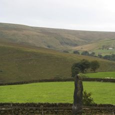
Two standing stones to north and south of lane between Stones Grange Farm and Stones Farm at NGR SD92522359 and NGR 92252380
1.4 km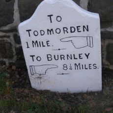
Milestone To North Of Entrance To Scaitcliffe Hall At Ngr Sj 926252
715 mVisited this place? Tap the stars to rate it and share your experience / photos with the community! Try now! You can cancel it anytime.
Discover hidden gems everywhere you go!
From secret cafés to breathtaking viewpoints, skip the crowded tourist spots and find places that match your style. Our app makes it easy with voice search, smart filtering, route optimization, and insider tips from travelers worldwide. Download now for the complete mobile experience.

A unique approach to discovering new places❞
— Le Figaro
All the places worth exploring❞
— France Info
A tailor-made excursion in just a few clicks❞
— 20 Minutes