
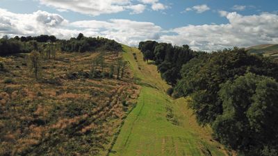
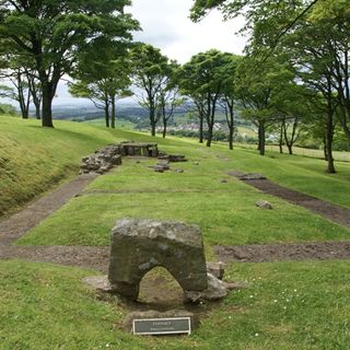
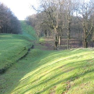
Antonine Wall, Bar Hill, rampart, ditch, fort and Military Way
Popularity :
Antonine Wall, Bar Hill, rampart, ditch, fort and Military Way, part of the Antonine Wall in Scotland
The placeWikimedia Commons CC BY-SA
Filters
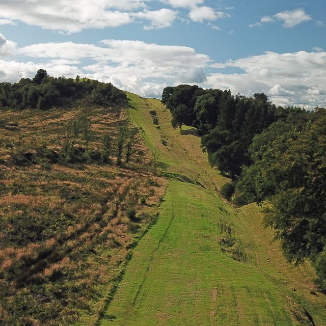
Antonine Wall, Bar Hill, rampart, ditch, fort and Military Way
Part of the Antonine Wall in Scotland
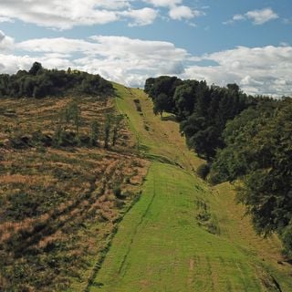
Antonine Wall, Bar Hill, rampart, ditch, fort and Military Way
Part of the Antonine Wall in Scotland
United Kingdom
0 m
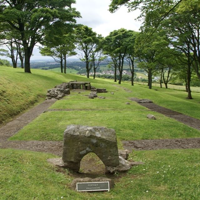
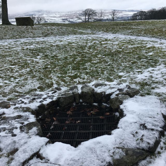
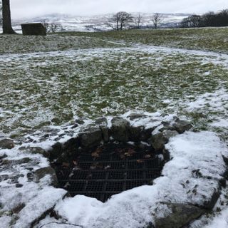
Bar Hill Roman fort
Ancient Roman fort in the United Kingdom
Bar Hill Fort, part of the Antonine Wall, is a relic of Roman presence in Britain.
Bar Hill Roman fort
Ancient Roman fort in the United Kingdom
United Kingdom
53 m
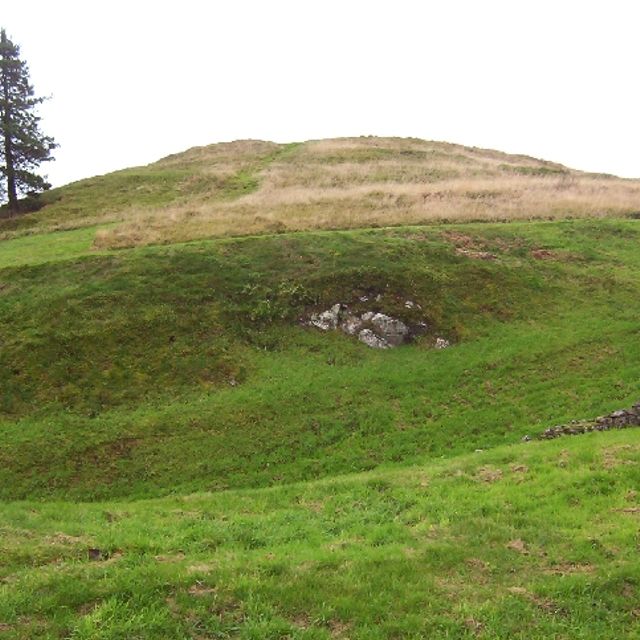
Castle Hill
Hillfort near Twechar, East Dunbartonshire, Scotland, UK

Castle Hill
Hillfort near Twechar, East Dunbartonshire, Scotland, UK
United Kingdom
197 m
Bar Hill, Roman temporary camp SW of
Architectural structure in East Dunbartonshire, Scotland, UK
Bar Hill, Roman temporary camp SW of
Architectural structure in East Dunbartonshire, Scotland, UK
United Kingdom
220 m

Antonine Wall
Roman fortification in Scotland
The Antonine Wall, known to the Romans as Vallum Antonini, was a turf fortification on stone foundations, built by the Romans across what is now the Central Belt of Scotland.
Antonine Wall
Roman fortification in Scotland
United Kingdom
916 m
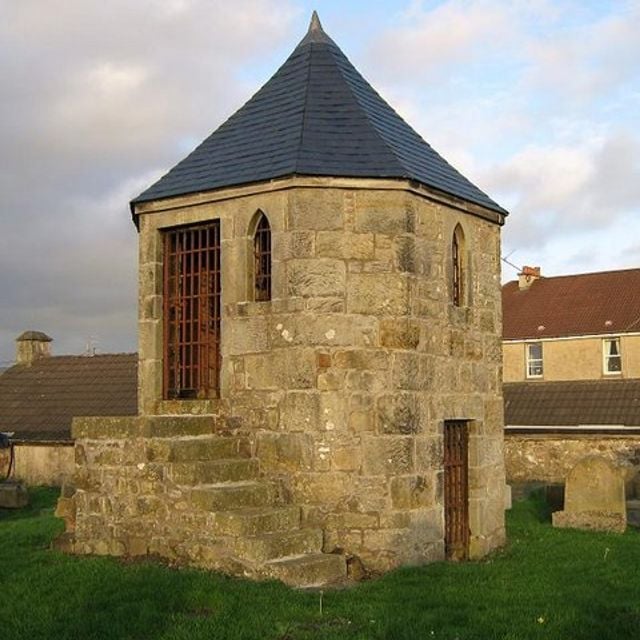
Kilsyth, Howe Street, Burial-ground
18th-century bural ground in Kilsyth, North Lanarkshire, Scotland, UK
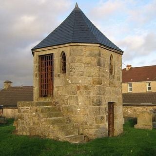
Kilsyth, Howe Street, Burial-ground
18th-century bural ground in Kilsyth, North Lanarkshire, Scotland, UK
United Kingdom
1.5 km
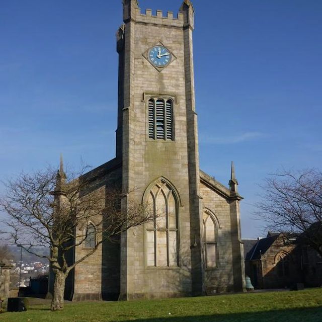
Kilsyth Parish Church
Church building in Kilsyth, North Lanarkshire, UK
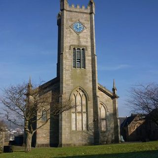
Kilsyth Parish Church
Church building in Kilsyth, North Lanarkshire, UK
United Kingdom
2 km
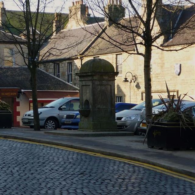
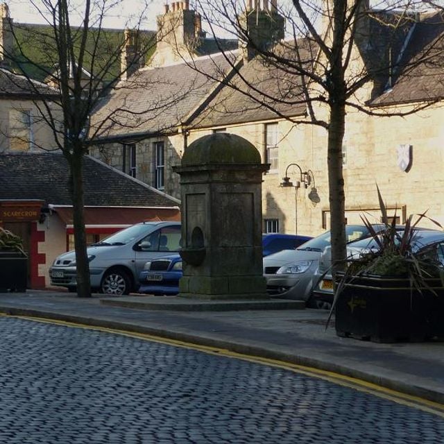
Pump, Market Square, Kilsyth
Drinking fountain in Kilsyth, North Lanarkshire, Scotland, UK
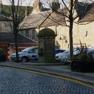
Pump, Market Square, Kilsyth
Drinking fountain in Kilsyth, North Lanarkshire, Scotland, UK
United Kingdom
2.2 km
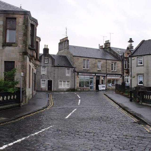
Market Chambers, Kilsyth
Office buildings in Kilsyth, North Lanarkshire, Scotland, UK

Market Chambers, Kilsyth
Office buildings in Kilsyth, North Lanarkshire, Scotland, UK
United Kingdom
2.2 km
48–50 Market Street, Kilsyth
Architectural structure in North Lanarkshire, Scotland, UK
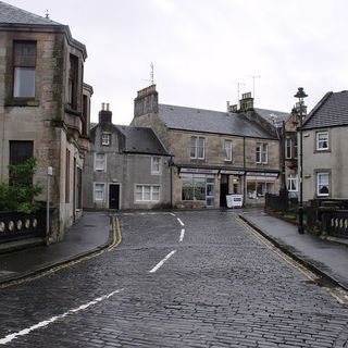
48–50 Market Street, Kilsyth
Architectural structure in North Lanarkshire, Scotland, UK
United Kingdom
2.2 km
Resources
« Antonine Wall, Bar Hill, rampart, ditch, fort and Military Way - part of the Antonine Wall in Scotland » is provided by Around.Us (aroundus.com). Images and texts are derived from Wikimedia project under a Creative Commons license. You are allowed to copy, distribute, and modify copies of this page, under the conditions set by the license, as long as this note is clearly visible.