East Dunbartonshire, Administrative district in Greater Glasgow, Scotland
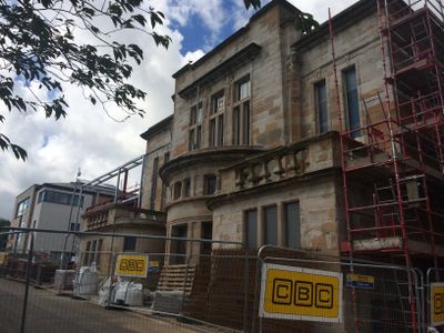
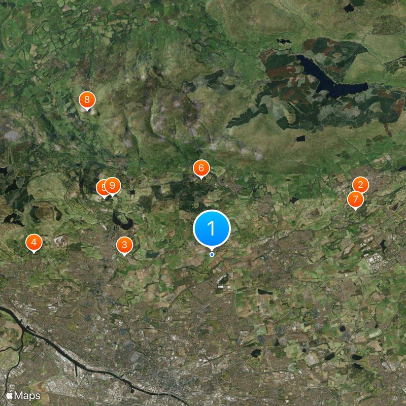
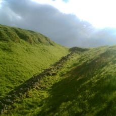
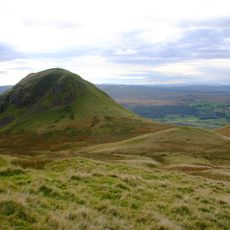
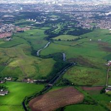
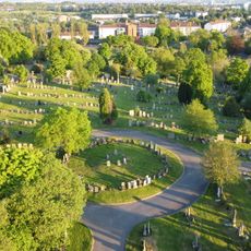
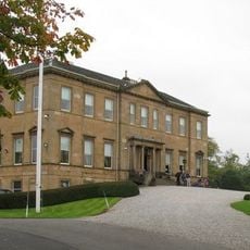
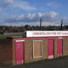
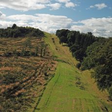
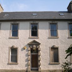
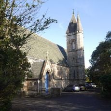
East Dunbartonshire is an administrative council area covering the northern suburbs of Glasgow, encompassing towns like Bearsden, Milngavie, Bishopbriggs, and Kirkintilloch. The landscape transitions from suburban housing and local centers to the rolling hills of the Campsie Fells toward the north.
The council area was established in 1996 when Bearsden and Milngavie districts merged with parts of Strathkelvin, following the dissolution of the wider Strathclyde region. This reorganization created the current administrative structure that serves the area today.
The region contains thirteen community council areas, each representing separate neighborhoods with their own local character. These areas organize local events and initiatives that shape how residents connect with one another.
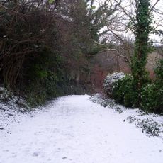
The area is well connected by buses and local train services linking the various towns and neighborhoods. Visitors should wear comfortable walking shoes as the region is spread out, with many paths and local routes to explore on foot.
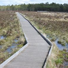
The Forth and Clyde Canal passes through the region, linking Glasgow to Edinburgh via a historic waterway that once transported goods across central Scotland. Today the canal serves as a popular route for walking, cycling, and leisure boating.
The community of curious travelers
AroundUs brings together thousands of curated places, local tips, and hidden gems, enriched daily by 60,000 contributors worldwide.