Dumgoyne, Rock formation and hill in Stirling, Scotland.
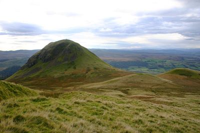
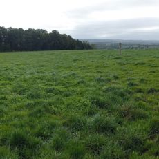
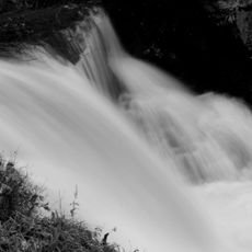
Dumgoyne is a volcanic plug in Stirling, Scotland, forming the westernmost point of the Campsie Fells range. The basalt rock rises steeply from the surrounding farmland in a cone shape, making it one of the most recognizable outlines in the area.
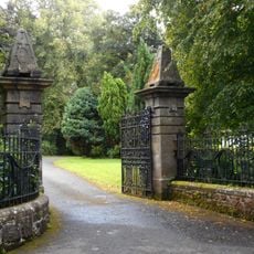
The rock was formed around 340 million years ago when magma pushed into a volcanic vent and hardened, while the softer rock around it was gradually worn away. At the foot of the hill, the Spittal of Ballewan served as a resting place for travelers in medieval times.
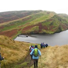
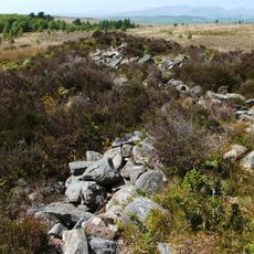
Dumgoyne sits at the edge of the Highlands, right where the landscape shifts from lowland farms to open moorland, and that transition is clearly visible from the top. The hill is a regular destination for walking groups from nearby towns, following a long tradition of outdoor access in Scotland.
The walk to the top can be started from the parking area near Glengoyne Distillery or along the water-board track from Strathblane and Blanefield. The upper section is steep and the ground can turn slippery after rain, so sturdy footwear is worth bringing.
A small stone placed at the summit by local Rotarians acts as a low-key memorial that many walkers step right past without noticing. It sits quietly at the highest point of the rocky top, easy to miss if you are not looking for it.
The community of curious travelers
AroundUs brings together thousands of curated places, local tips, and hidden gems, enriched daily by 60,000 contributors worldwide.