
Stoneham WWI Shrine, Stone building with sloped tiled roof
Location: North Stoneham
Inception: July 28, 1918
Architects: Christopher Hatton Turnor
GPS coordinates: 50.96020,-1.37614
Latest update: March 2, 2025 22:25

The Concorde Club
598 m
South Stoneham House
2.6 km
Wessex Lane Halls
2.6 km
Lakeside Country Park
923 m
Itchen Valley Country Park
2.9 km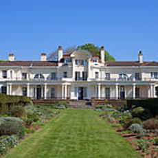
Townhill Park House
3.2 km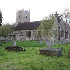
St. Nicolas' Church, North Stoneham
759 m
John Hansard Gallery
3.1 km
286
2.5 km
The Point, Eastleigh
1.8 km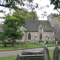
St. Mary's Church, South Stoneham
2.6 km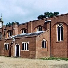
St. Michael and All Angels Church, Bassett
2.7 km
R J Mitchell Wind Tunnel
3 km
St Alban's Church, Southampton
2.5 km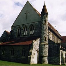
Church of the Resurrection
2.1 km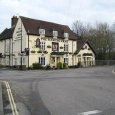
The Fleming Arms Public House
2 km
Stoneham Rectory
698 m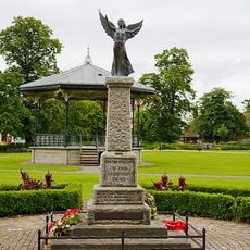
Eastleigh War Memorial
1.9 km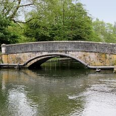
Mans Bridge
2.7 km
Milestone, Wide Lane, Swaythling; 50m W roundabout/jcn Mansbridge Road
2 km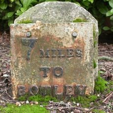
Milestone, Opposite Junction With Heathlands Road
2.1 km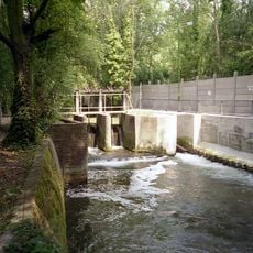
Stoke Lock
2.8 km
Milestone, Bassett Green Road; 100m NW crematorium
1.9 km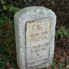
Milestone, Fryern Hill, jct of Bodycoats Road and Winchester Road, opposite 47 Winchester Road
2.8 km
Milestone, Bassett, nr junction with Bassett Avenue, road to Gables Court
2.7 km
Milestone, Hut Hill; by 'Northerndene', opp. Birch Road/Hutwood Road
1.6 km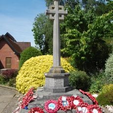
Chandler's Ford War Memorial
3 km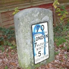
Milestone, Velmore Farm, 75m N of Templar's Mead
1.6 kmReviews
Visited this place? Tap the stars to rate it and share your experience / photos with the community! Try now! You can cancel it anytime.
Discover hidden gems everywhere you go!
From secret cafés to breathtaking viewpoints, skip the crowded tourist spots and find places that match your style. Our app makes it easy with voice search, smart filtering, route optimization, and insider tips from travelers worldwide. Download now for the complete mobile experience.

A unique approach to discovering new places❞
— Le Figaro
All the places worth exploring❞
— France Info
A tailor-made excursion in just a few clicks❞
— 20 Minutes