
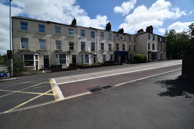
23-35 , Heavitree Road, building in Exeter, Devon
Location: Exeter
Address: Heavitree Road, Exeter
GPS coordinates: 50.72473,-3.52047
Latest update: March 5, 2025 19:54
Southernhay Congregational Church
391 m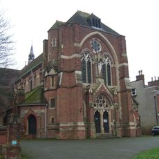
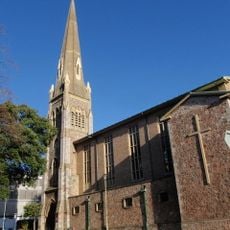
St Matthew's Church
133 m
Vue Exeter
269 m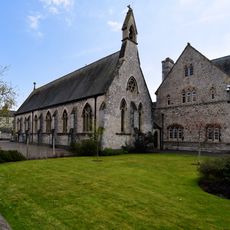
St Luke's University Chapel
319 m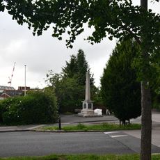
Martyrs' Memorial
215 m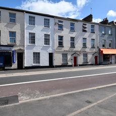
Eaton Place
55 m
Odeon Exeter
371 m
30 (Churchill House), Denmark Road
298 m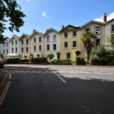
34-56, Belmont Road
341 m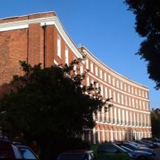
2-6, Barnfield Crescent
358 m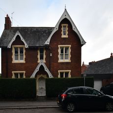
28 (Isca Villa), Denmark Road
277 m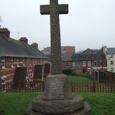
Newtown War Memorial
119 m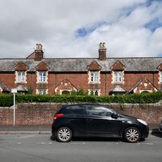
Lethbridge's And Davey's Almshouses
349 m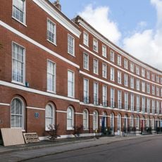
1, Barnfield Crescent
384 m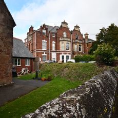
40 (Denmark Court), Denmark Road
384 m
St. Lukes College Stable Block
344 m
34 (Holmedale), Denmark Road
334 m
32, Belmont Road
340 m
38 (The Cedars), Denmark Road
373 m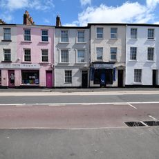
Eaton's Place
68 m
1-4 and 7-9, Lower Summerlands
102 m
13-15, Dix's Field
271 m
37 Heavitree Road
23 m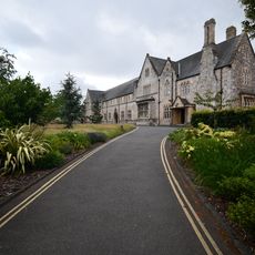
St. Lukes College Main Building
289 m
Tregear & Stable/Coach House (Now part of The Maynard School)
303 m
22 (The Lodge), Spicer Road
309 m
15-21 (odd), Heavitree Road
40 m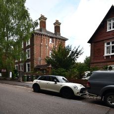
36 (Carlton House), Denmark Road
358 mReviews
Visited this place? Tap the stars to rate it and share your experience / photos with the community! Try now! You can cancel it anytime.
Discover hidden gems everywhere you go!
From secret cafés to breathtaking viewpoints, skip the crowded tourist spots and find places that match your style. Our app makes it easy with voice search, smart filtering, route optimization, and insider tips from travelers worldwide. Download now for the complete mobile experience.

A unique approach to discovering new places❞
— Le Figaro
All the places worth exploring❞
— France Info
A tailor-made excursion in just a few clicks❞
— 20 Minutes