
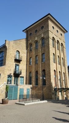
The Plate House, building in London Borough of Tower Hamlets, UK
Location: London Borough of Tower Hamlets
Part of: Burrells Wharf
GPS coordinates: 51.48782,-0.01998
Latest update: March 4, 2025 09:02
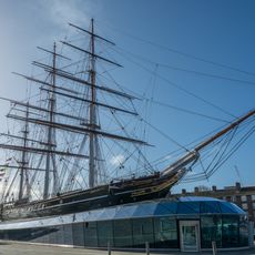
Cutty Sark
906 m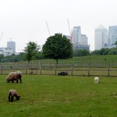
Mudchute
726 m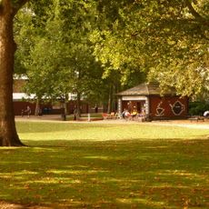
Island Gardens
840 m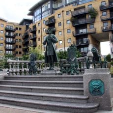
Memorial to Peter the Great
505 m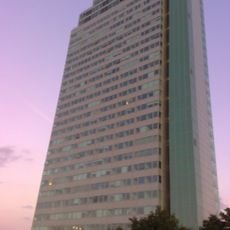
Aragon Tower
860 m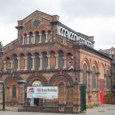
The Space
92 m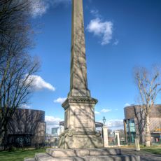
New Zealand Memorial
907 m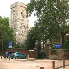
Church of St Nicholas
675 m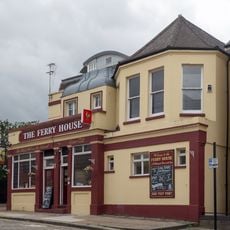
The Ferry House Public House
478 m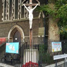
Isle of Dogs War Memorial
929 m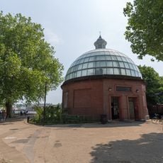
Northern Entrance Building To Greenwich Foot Tunnel
750 m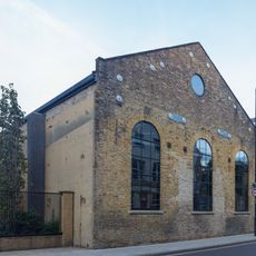
The Forge, Millwall
119 m
50-56 Ferry Street (evens)
679 m
1-37 Burrells Wharf Square
51 m
Millwall Fire Station
441 m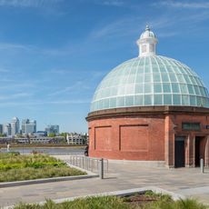
Southern Entrance Building To Greenwich Foot Tunnel
845 m
58 And 60, Ferry Street E14
661 m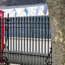
Royal Naval College Railings To West Boundary Of Grounds
904 m
Charnel House To Church Of St Nicholas
697 m
Boundary Wall To Convoy's Wharf
490 m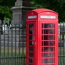
K6 Telephone Kiosk
886 m
North And East Walls To Churchyard Of St Nicholas And Gate Piers On West Wall
653 m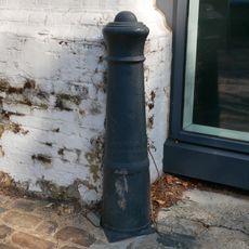
Cast Iron Bollard At Junction With Watergate Street
483 m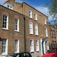
35, Albury Street Se8
857 m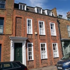
29 And 31, Albury Street Se8
864 m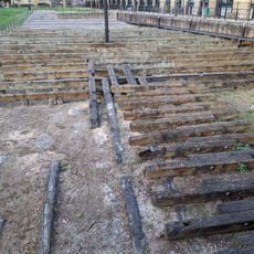
Site of the launch ways of the SS Great Eastern
106 m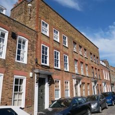
23-27, Albury Street Se8
871 m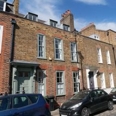
33, Albury Street Se8
860 mVisited this place? Tap the stars to rate it and share your experience / photos with the community! Try now! You can cancel it anytime.
Discover hidden gems everywhere you go!
From secret cafés to breathtaking viewpoints, skip the crowded tourist spots and find places that match your style. Our app makes it easy with voice search, smart filtering, route optimization, and insider tips from travelers worldwide. Download now for the complete mobile experience.

A unique approach to discovering new places❞
— Le Figaro
All the places worth exploring❞
— France Info
A tailor-made excursion in just a few clicks❞
— 20 Minutes