
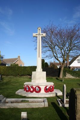
St Andrews' Churchyard War Memorial, Cranwell, war memorial in the UK
Location: Cranwell, Brauncewell and Byard's Leap
Architects: Reginald Blomfield
GPS coordinates: 53.03721,-0.46085
Latest update: March 7, 2025 14:43
South Rauceby Hall
4.1 km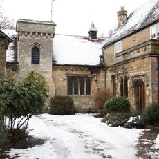
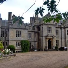
Manor House
5.3 km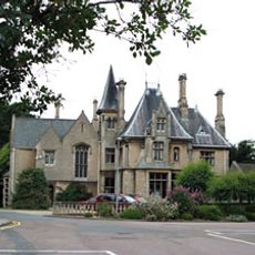
Westholme House
5.2 km
Playhouse, Sleaford
5.3 km
Church of All Saints
2.7 km
Church of St Peter, North Rauceby
3.7 km
Church of All Saints
5.1 km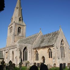
Church of St Andrew
2.8 km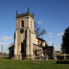
Church of St Mary
4.9 km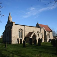
Church of St Andrew
27 m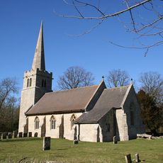
Church of St Hybald
5.3 km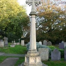
North Rauceby War Memorial
3.8 km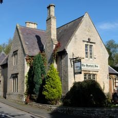
The Bustard Inn
4.5 km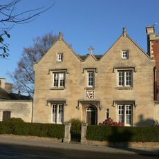
40 Northgate
5.2 km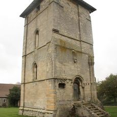
Church Tower To The North Of Temple Farmhouse
4.5 km
70, Main Street
4.4 km
Former Brewhouse And Stables To Bustard Inn
4.4 km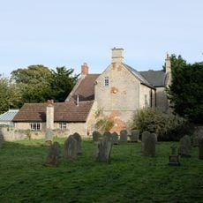
The Old Vicarage
3.7 km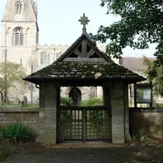
Lych Gate to Church of St Peter
3.8 km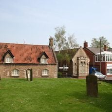
2, Manor Street
5.1 km
Dunsby medieval village
1.5 km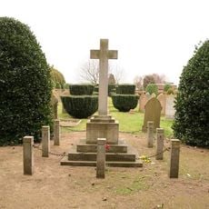
Ruskington War Memorial
5.1 km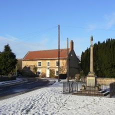
Leasingham War Memorial
2.8 km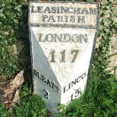
Milepost 3 Metres South Of Hall Farmhouse
2.7 km
The Close
5 km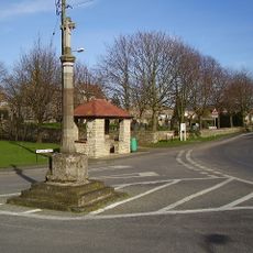
Cranwell Cross
87 m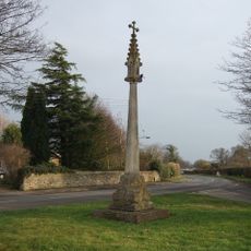
North Rauceby village cross
3.8 km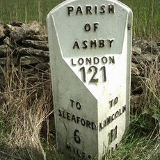
Milepost, Lincoln Road, 20m S of Ashby Lodge Farm
4 kmVisited this place? Tap the stars to rate it and share your experience / photos with the community! Try now! You can cancel it anytime.
Discover hidden gems everywhere you go!
From secret cafés to breathtaking viewpoints, skip the crowded tourist spots and find places that match your style. Our app makes it easy with voice search, smart filtering, route optimization, and insider tips from travelers worldwide. Download now for the complete mobile experience.

A unique approach to discovering new places❞
— Le Figaro
All the places worth exploring❞
— France Info
A tailor-made excursion in just a few clicks❞
— 20 Minutes