
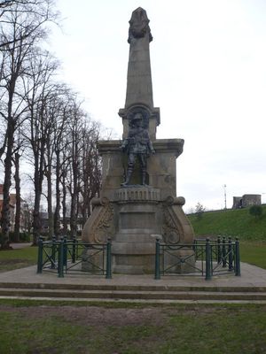
Canterbury Boer War Memorial, war memorial in Canterbury, Kent, England, UK
Location: Canterbury
Architects: Nathaniel Hitch
GPS coordinates: 51.27555,1.07860
Latest update: March 3, 2025 22:51
Watling Street
159 m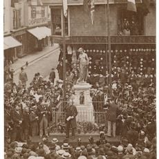
Memorial to Christopher Marlowe
19 m
Penn House
123 m
28, Watling Street
174 m
No 13 And Attached Boundary Wall
133 m
8 And 9, Castle Street
189 m
Latchmere House
189 m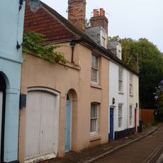
1-3, St Mary's Street
118 m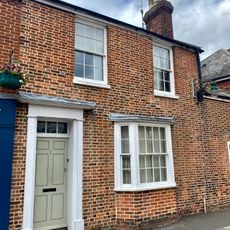
2, Marlowe Avenue
113 m
19-21, Castle Street
181 m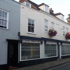
15, Castle Street
182 m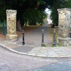
4 Bollards Situated At Edge Of Churchyard
187 m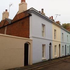
4-7, St Mary's Street
101 m
Municipal Buildings
50 m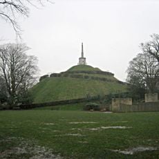
Dane John Mound and Roman and medieval remains in Dane John Garden
40 m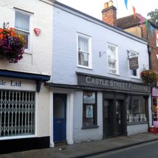
16-18, Castle Street
182 m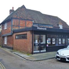
14, St John's Lane
167 m
16, Watling Street
156 m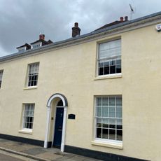
4 Marlowe Avenue
105 m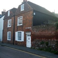
9 And 10, Worthgate Place
155 m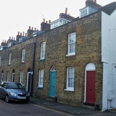
Worthgate Place
141 m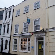
27, Watling Street
179 m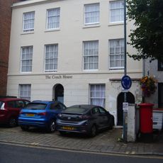
34 And 34A, Watling Street
135 m
12-14, Castle Street
184 m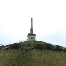
Dane John Mound Pinnacle
89 m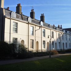
2-7, Dane John
87 m
12 And 12A, Dane John
79 m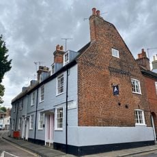
37-41, Castle Row
189 mVisited this place? Tap the stars to rate it and share your experience / photos with the community! Try now! You can cancel it anytime.
Discover hidden gems everywhere you go!
From secret cafés to breathtaking viewpoints, skip the crowded tourist spots and find places that match your style. Our app makes it easy with voice search, smart filtering, route optimization, and insider tips from travelers worldwide. Download now for the complete mobile experience.

A unique approach to discovering new places❞
— Le Figaro
All the places worth exploring❞
— France Info
A tailor-made excursion in just a few clicks❞
— 20 Minutes