Watling Street, Roman road from Dover to Wroxeter, England
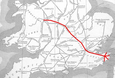
Watling Street is a Roman road that runs roughly 450 kilometers across England, linking the port of Dover through London to Wroxeter in the west. Along the route it crosses several counties and follows sections still visible in stone today.
Romans built the route during 47 and 48 AD to move troops quickly and control the newly acquired provinces. In the 9th century it marked the boundary between Danish and Anglo-Saxon territory and formed the edge of the Danelaw.
The name comes from the Waeclingas, an Anglo-Saxon tribe who settled near what is now St Albans and called their town Wætlingaceaster. Along the route, place names and road sections recall centuries of use by traders, pilgrims and travelers.
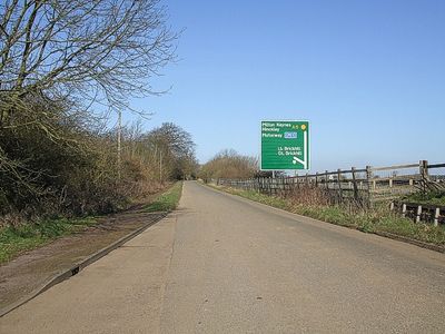
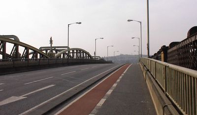
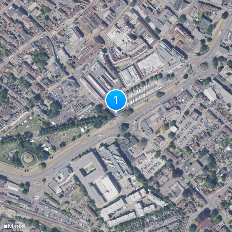
Travelers can trace much of the old route today by following the A2 from Dover to London and then the A5 to Wroxeter. In some sections the original line lies beneath modern roads, while other parts cross open countryside.
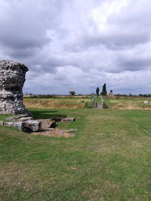
Some sections lie several meters below the present surface and have been covered by centuries of deposits. Archaeologists occasionally find Roman-era paving stones when digging along the modern roadways.
The community of curious travelers
AroundUs brings together thousands of curated places, local tips, and hidden gems, enriched daily by 60,000 contributors worldwide.