Cotswolds, Protected natural area in South West England, United Kingdom.
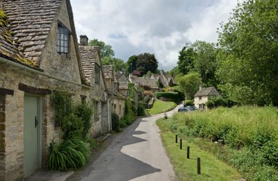
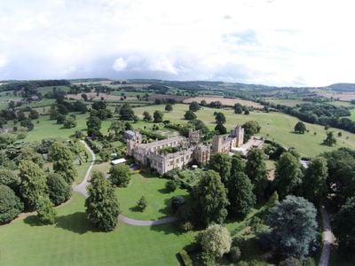
The Cotswolds spread across rolling hills in southwest England, shaped by limestone bedrock and small settlements built from local stone between the Thames and Severn river valleys. Gentle ridges alternate with narrow valleys, pastures, and open grasslands, crisscrossed by a network of old footpaths and field boundaries.
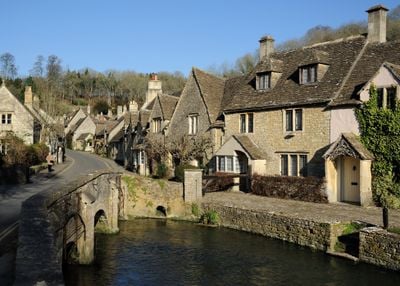
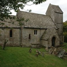
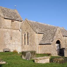
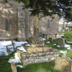
The area grew wealthy through wool trade with continental Europe during the 13th and 14th centuries, which funded the construction of many limestone churches. Old trade routes and grazing patterns from that period still shape how the landscape looks today.
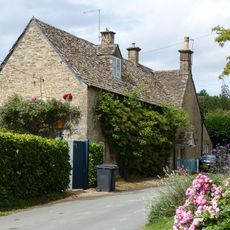
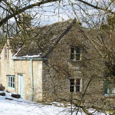
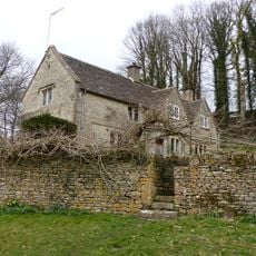
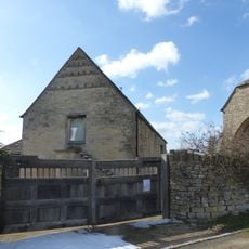
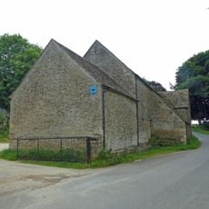
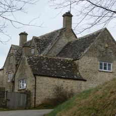
Local communities maintain traditional dry stone walls that crisscross the farmland, built without mortar using methods passed down over generations. The same golden limestone shapes village cottages, barns, and field boundaries, creating a visual continuity you notice as you move from one valley to the next.
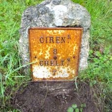
You can explore the hills on foot using waymarked trails that link historic market towns and old settlements, passing through open fields and patches of woodland. Orientation is straightforward thanks to signposted routes, though terrain varies from gentle slopes to steeper climbs.
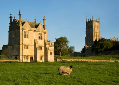
The Jurassic limestone bedrock supports plant species that thrive on calcium-rich soils and have become rare elsewhere in England. Traditional sheep grazing has kept these grasslands open and species-rich for centuries, maintaining a habitat that would otherwise disappear.
The community of curious travelers
AroundUs brings together thousands of curated places, local tips, and hidden gems, enriched daily by 60,000 contributors worldwide.