Horse and cattle drinking trough, trough in London Borough of Hackney, UK
Location: London Borough of Hackney
GPS coordinates: 51.52957,-0.08349
Latest update: November 22, 2025 19:38
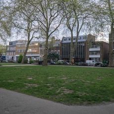
Hoxton Square
260 m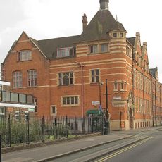
Courtyard Theatre
177 m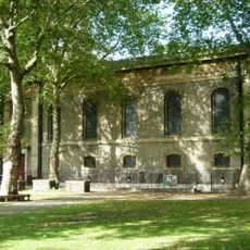
St John the Baptist, Hoxton
115 m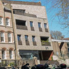
20 Hoxton Square
220 m
Hoxton Square
248 m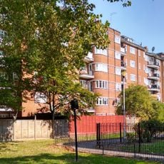
Fairchild House
76 m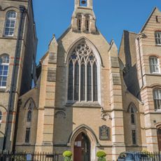
Church of St Monica
191 m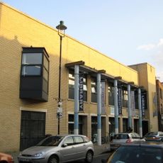
Shoreditch Library
252 m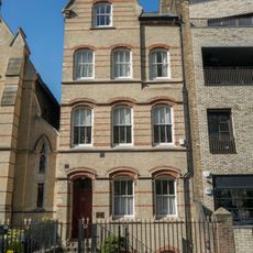
Priory Of The Augustinian Friars
208 m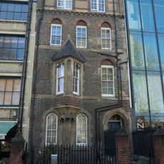
10, Hoxton Square N1
219 m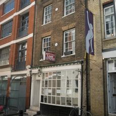
56, Hoxton Square N1
276 m
Railings And Gates To Churchyard Of St John The Baptist
47 m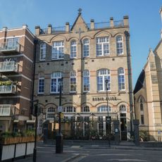
Academy Fitness Centre
196 m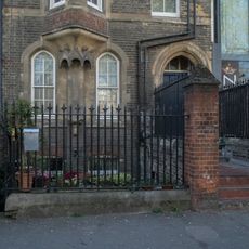
Forecourt Walls And Railings To Number 10
225 m
31-41, New North Road N1
172 m
Front Wall And Piers To London College Of Furniture
130 m
Forecourt Walls Railings And Gates To Numbers 31 To 41 (Odd)
173 m
53, New North Road N1
233 m
Stables and Carriageway Entrance Building at the Former LGOC Pitfield Street Depot
123 m
Lampholders And Arch Outside Number 55 (The Sturt Arms)
246 m
Post On Pavement In Front Of Prince Arthur Public House
270 m
8, Crondall Street N1
189 m
4 Posts On Pavement Opposite Prince Arthur Public House
275 m
Juggling Figure
269 m
Black Hands
228 m
Holding Hands
271 m
LDN_22
255 m
LDN_150
243 mReviews
Visited this place? Tap the stars to rate it and share your experience / photos with the community! Try now! You can cancel it anytime.
Discover hidden gems everywhere you go!
From secret cafés to breathtaking viewpoints, skip the crowded tourist spots and find places that match your style. Our app makes it easy with voice search, smart filtering, route optimization, and insider tips from travelers worldwide. Download now for the complete mobile experience.

A unique approach to discovering new places❞
— Le Figaro
All the places worth exploring❞
— France Info
A tailor-made excursion in just a few clicks❞
— 20 Minutes