
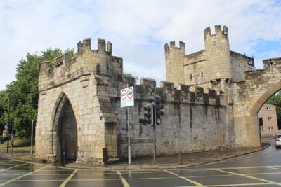
Walmgate Bar, Medieval gateway and barbican in York, England
Location: City of York
Part of: City Wall From The Red Tower To Fishergate Postern Tower Fishergate Bar Fishergate Postern Tower The Red Tower Walmgate Bar
GPS coordinates: 53.95519,-1.07071
Latest update: March 25, 2025 20:39

Barbican Centre
305 m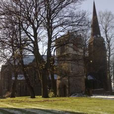
St. Lawrence Parish Church
196 m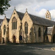
St. George's Roman Catholic Church
292 m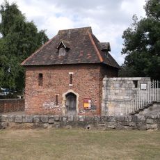
The Red Tower, York
314 m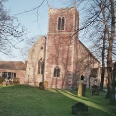
Church of St Margaret
200 m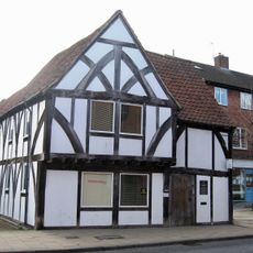
Bowes Morrell House
181 m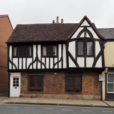
77, Walmgate
264 m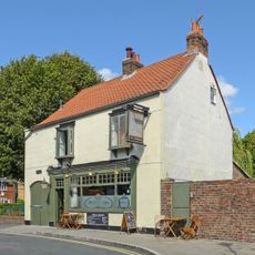
The Phoenix Public House
306 m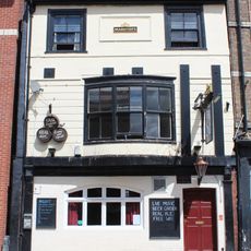
The Spread Eagle Public House
238 m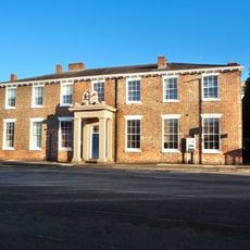
York City Arms Sports Club
338 m
The Waggon And Horses Public House (Number 19)
101 m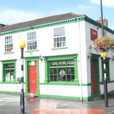
1, Fawcett Street
356 m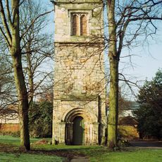
Old St Lawrence's Church Tower
182 m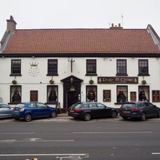
Rose And Crown Public House
78 m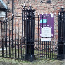
Entrance Gates At Stamford House And George House
331 m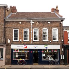
68 and 70, Walmgate
349 m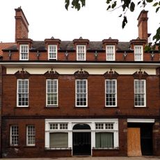
114, Walmgate
180 m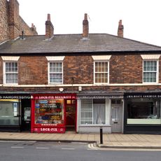
65, 67, 69 And 69A, Walmgate
296 m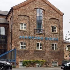
Former brewery warehouse approximately 5 metres north west of number 18 George Street (not included)
351 m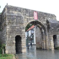
Fishergate Bar
324 m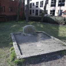
Turpins Grave Approximately 50 Metres From Entrance To St Georges Churchyard
357 m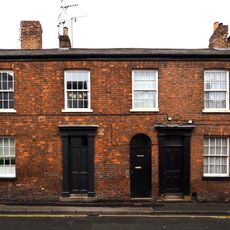
1 and 3, George Street
302 m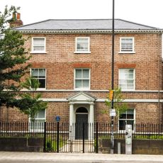
Tuke House
155 m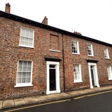
29 And 31, George Street
324 m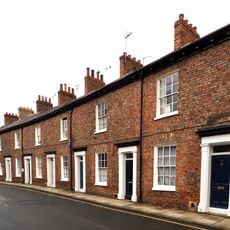
15-27, George Street
318 m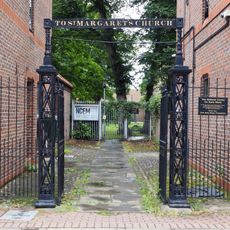
Gate Approximately 100 Metres South West Of St Margarets Church
208 m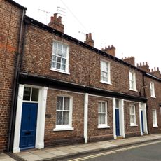
9, 11 and 13, George Street
304 m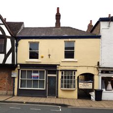
75, Walmgate
272 mReviews
Visited this place? Tap the stars to rate it and share your experience / photos with the community! Try now! You can cancel it anytime.
Discover hidden gems everywhere you go!
From secret cafés to breathtaking viewpoints, skip the crowded tourist spots and find places that match your style. Our app makes it easy with voice search, smart filtering, route optimization, and insider tips from travelers worldwide. Download now for the complete mobile experience.

A unique approach to discovering new places❞
— Le Figaro
All the places worth exploring❞
— France Info
A tailor-made excursion in just a few clicks❞
— 20 Minutes