
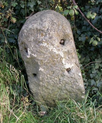
Milestone, Yarnbrook Road; W Ashton; 200m S crossroads/traffic lights, milestone in West Ashton, West Wiltshire, UK
Location: West Wiltshire
Inception: 19 century
GPS coordinates: 51.29993,-2.17933
Latest update: March 4, 2025 12:33
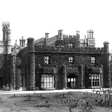
Rood Ashton House
279 m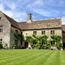
Southwick Court Farmhouse
3.1 km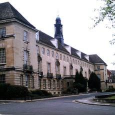
County Hall, Trowbridge
2.9 km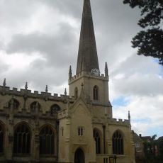
Parish Church of St James, Trowbridge
3.1 km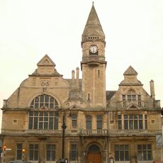
Trowbridge Town Hall
3 km
Trowbridge Castle
3 km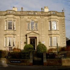
Polebarn House
2.9 km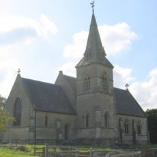
Church of St John the Evangelist
382 m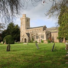
Church of St Nicholas
2.3 km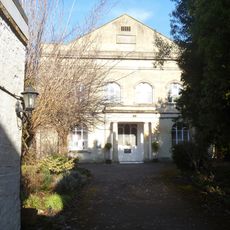
Emmanuel Baptist Church With Archway At North West End
3.1 km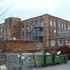
Trowbridge Museum
3.1 km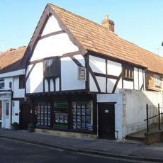
9, Church Street
3.1 km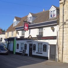
The White Swan Public House
3 km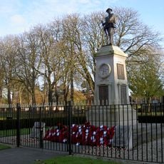
Trowbridge War Memorial
2.9 km
The Sun Public House
3.1 km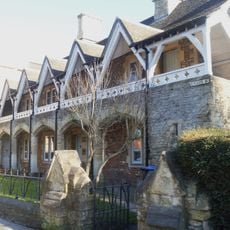
Union Street Almshouses
3.1 km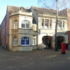
No 44, Former White Hart Public House
3 km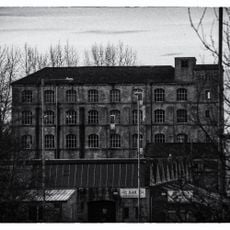
Ashton Mills
2.5 km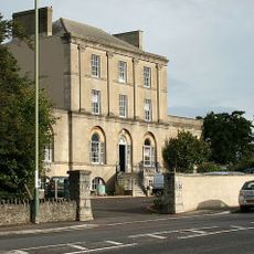
Bellefield House
3 km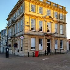
Midland Bank
3 km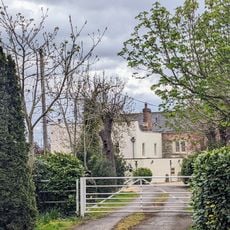
Manor Farmhouse
1.6 km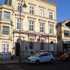
62, Fore Street
3.1 km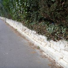
Boundary Wall Of Highfield To The Road
3.1 km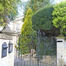
Denbie
3.1 km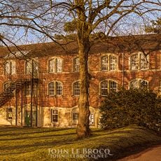
Courtfield House
2.7 km
Lovemead House
3 km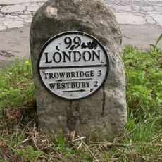
Milestone, Westbury Road;Yarnbrook
1.2 km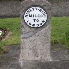
Milestone, Hilperton Road, jcn Roundstone Street (duplicate in Trowbridge Museum)
3 kmVisited this place? Tap the stars to rate it and share your experience / photos with the community! Try now! You can cancel it anytime.
Discover hidden gems everywhere you go!
From secret cafés to breathtaking viewpoints, skip the crowded tourist spots and find places that match your style. Our app makes it easy with voice search, smart filtering, route optimization, and insider tips from travelers worldwide. Download now for the complete mobile experience.

A unique approach to discovering new places❞
— Le Figaro
All the places worth exploring❞
— France Info
A tailor-made excursion in just a few clicks❞
— 20 Minutes