
Milestone, abandoned section of A43 now forming road to Cottisford, just S of point where break in hedge was once lane to Pimlico Farm
Milestone, abandoned section of A43 now forming road to Cottisford, just S of point where break in hedge was once lane to Pimlico Farm, milestone in Hardwick With Tusmore, Cherwell, UK
Location: Cherwell
Inception: 19 century
GPS coordinates: 51.97654,-1.18569
Latest update: March 3, 2025 12:46

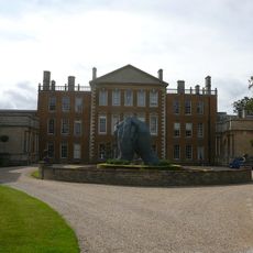
Aynhoe Park
5 km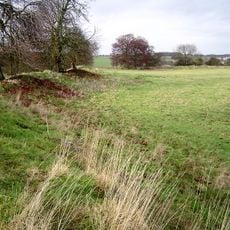
Rainsborough Camp
5 km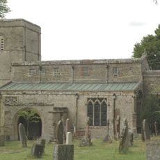
Church of the Annunciation to the Blessed Virgin Mary
3.7 km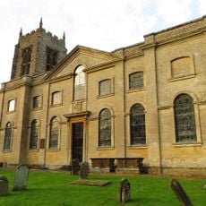
Church of St Michael, Aynho
4.9 km
Church of St Peter, Stoke Lyne
2.9 km
Church of St Mary
4.2 km
Church of St Olave
4.1 km
Church of St George
4.6 km
Church of St Mary
2.7 km
Church of All Saints
5.6 km
Church of St Edmund and George
3.7 km
Church of Holy Trinity
5.7 km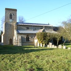
Church of St Michael and All Angels
5 km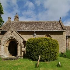
Church of St Mary
2.3 km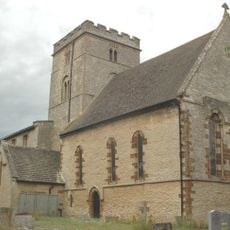
Church of St Peter
5.6 km
Church of All Saints
2.8 km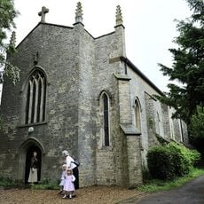
Church of Holy Trinity (Roman Catholic)
3.2 km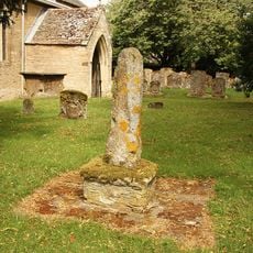
Cross Approximately 7 Metres South West Of Church Of All Saints
2.7 km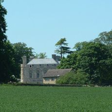
Evenley Hall
5.1 km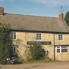
Whitmore Arms Public House
3.7 km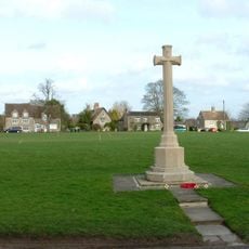
Evenley War Memorial
4.5 km
6, Round Town
5 km
12, Round Town
5 km
Barn End
5 km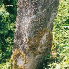
Milestone, The Pits, 100m W of Mixbury turn
4.9 km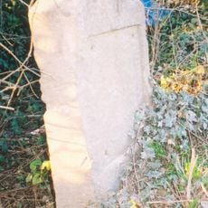
Milestone, Station Road; between railway bridge and southern edge of Ardley, S of Uplands
4.7 km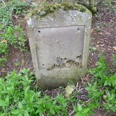
Milestone, 400m N of Barley Mow roundabout
3.1 km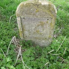
Milestone, N of Evenley roundabout
4.5 kmReviews
Visited this place? Tap the stars to rate it and share your experience / photos with the community! Try now! You can cancel it anytime.
Discover hidden gems everywhere you go!
From secret cafés to breathtaking viewpoints, skip the crowded tourist spots and find places that match your style. Our app makes it easy with voice search, smart filtering, route optimization, and insider tips from travelers worldwide. Download now for the complete mobile experience.

A unique approach to discovering new places❞
— Le Figaro
All the places worth exploring❞
— France Info
A tailor-made excursion in just a few clicks❞
— 20 Minutes