
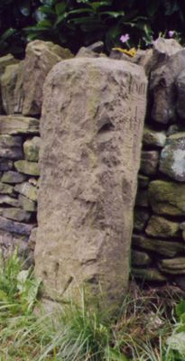
Milestone, Upper Cumberworth, S of A635 at jct of Carr Hill Road and Rowgate, beside white gable end
Milestone, Upper Cumberworth, S of A635 at jct of Carr Hill Road and Rowgate, beside white gable end, milestone in Denby Dale, Kirklees, UK
Location: Kirklees
Inception: 18 century
GPS coordinates: 53.57468,-1.68917
Latest update: March 2, 2025 23:11

Denby Dale Railway Viaduct
1.8 km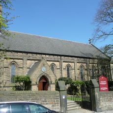
Church of St Paul
1.8 km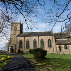
Church of St John
2.5 km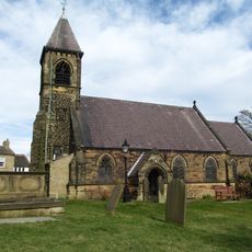
Church of St Nicholas
449 m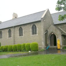
Church of St Aidan
2.8 km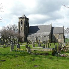
Church of Emmanuel
2.6 km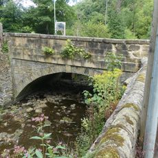
Thunder Bridge
3.3 km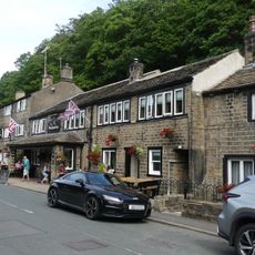
The Woodman Public House
3.3 km
Skelmanthorpe Library
3.2 km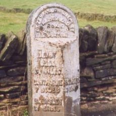
3 Miles Post Opposite Toss O'Coin Public House
2.7 km
152 and 154, Penistone Road
2.6 km
5, 9 and 11, Thunder Bridge Lane
3.3 km
Shepley Library
1.8 km
Denby Dale Library
2.3 km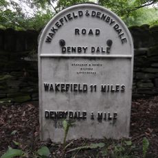
Milestone Approximately 300 Yards East Of Junction With Barnsley
1.5 km
Milestone In Garden Of Salt Pie
1.2 km
Birks Gate and attached outbuildings
3.2 km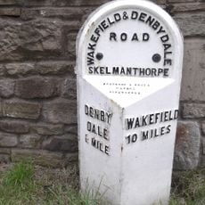
Milepost Opposite No 268A
3 km
15 and 17, Thunder Bridge Lane
3.3 km
Guide Post At Junction With Far Bank
2.5 km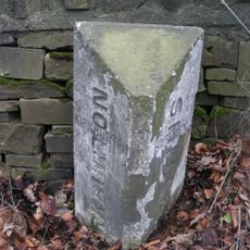
Boundary Stone 150 Yards South Of Junction With Riley Lane
3.6 km
Milestone At Base Of Viaduct
2 km
Moor View Farmhouse
3.2 km
Milepost 200 Yards East Of Junction With Denby Lane
3.6 km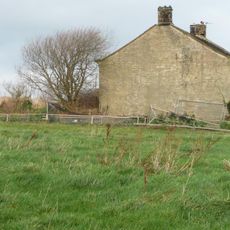
West Royd Farmhouse
3.3 km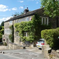
18 and 20, Dam Hill
2.7 km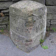
Milestone At Junction With Lydegate Road
1.6 km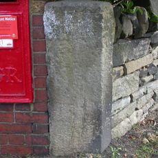
Guidestone, Stocksmoor, Cross Lane
3.5 kmReviews
Visited this place? Tap the stars to rate it and share your experience / photos with the community! Try now! You can cancel it anytime.
Discover hidden gems everywhere you go!
From secret cafés to breathtaking viewpoints, skip the crowded tourist spots and find places that match your style. Our app makes it easy with voice search, smart filtering, route optimization, and insider tips from travelers worldwide. Download now for the complete mobile experience.

A unique approach to discovering new places❞
— Le Figaro
All the places worth exploring❞
— France Info
A tailor-made excursion in just a few clicks❞
— 20 Minutes