
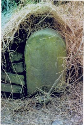
Milestone, Lumb, between Lumb & Whitewell Bottom, opp. No. 691, milestone in Rawtenstall, Rossendale, UK
Location: Rossendale
Inception: 19 century
GPS coordinates: 53.71575,-2.25149
Latest update: March 3, 2025 09:00
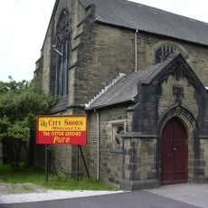
St John's Church, Rawtenstall
2.2 km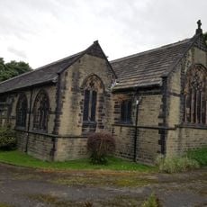
St Paul's Church, Constable Lee
2.5 km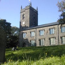
St Nicholas' Church, Newchurch
2.1 km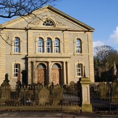
Former Rakefoot Methodist Church
2.5 km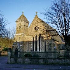
Roman Catholic Church of St James the Less
2.6 km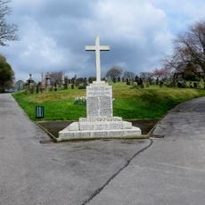
War Memorial in Rawtenstall Cemetery
2.5 km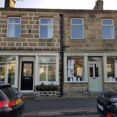
63 and 65, Church Street
2 km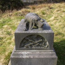
Harrier Hound Monument To Methusalah Yates In Churchyard To South Of Church Of St. Nicholas With St. John
2.1 km
Staghills Lodge
2.4 km
1 and 3, Daisy Hill
2.6 km
Lower Constable Lee Farmhouse
2.5 km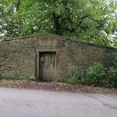
Friends' Burial Ground
1.8 km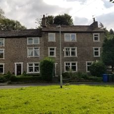
334, Edgeside Road
2.1 km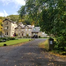
Heightside
1.7 km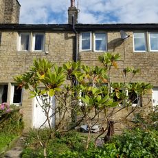
16 And 18, Shaw Clough Road
1.3 km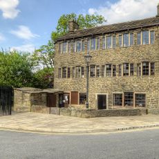
1, Bacup Road
2.6 km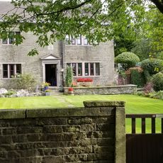
Waingate Farmhouse
2 km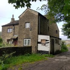
Nos 2 And 4 Higher Constable Lee
2.3 km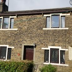
5, Bolton Street
2 km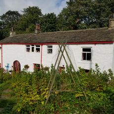
Lane Ends Farmhouse And Barn
2.1 km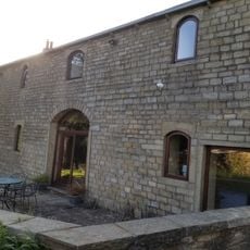
No 1 Yates Cottages And Attached Barn Between Nos 1 And 3
1.2 km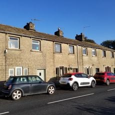
1135-1141, Burnley Road East
1.7 km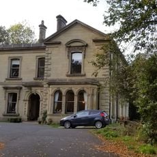
Ashlands
1.9 km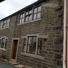
Hurst Farm And Hurst Cottage
2.2 km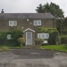
Higher Chapel Hill Farmhouse
1.7 km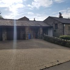
Lower Chapel Hill Farmhouse
2 km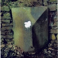
Milestone, Lumb, Burnley Road East
228 m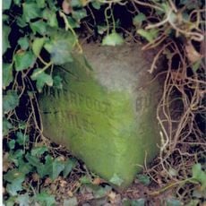
Milestone, Water, Burnley Road East
1.8 kmReviews
Visited this place? Tap the stars to rate it and share your experience / photos with the community! Try now! You can cancel it anytime.
Discover hidden gems everywhere you go!
From secret cafés to breathtaking viewpoints, skip the crowded tourist spots and find places that match your style. Our app makes it easy with voice search, smart filtering, route optimization, and insider tips from travelers worldwide. Download now for the complete mobile experience.

A unique approach to discovering new places❞
— Le Figaro
All the places worth exploring❞
— France Info
A tailor-made excursion in just a few clicks❞
— 20 Minutes