Enable Location

We need your location to show you interesting places around you

Discover nearby places

Find interesting locations and hidden gems around you

Precise directions

Get accurate directions and distances to places

Your location is never shared with other users. It's only used when you tap the location button.

Rossendale

Log in to your account

Start exploring — it's free

Trusted by 62,873 travelers worldwide

Continue with Google
Continue with Apple
or

We will send you a code to connect

By continuing, you accept our Terms and Conditions and our Privacy Policy

Check your inbox

We've sent a pincode in your inbox. Please enter the code below.

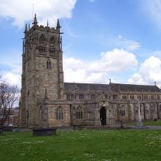
Rossendale, Administrative district in Lancashire, England

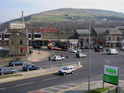
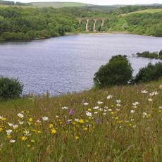
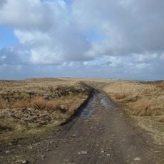
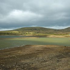
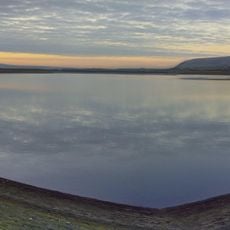
Rossendale is an administrative district in northwestern England that spans multiple settlements nestled within steep-sided valleys of the River Irwell. The territory covers several towns and villages distributed across the valley floor and hillsides.

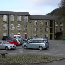
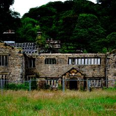
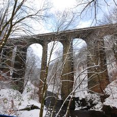
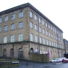
The district grew rapidly during the Industrial Revolution as factories and mills expanded along the river valleys. This expansion transformed the landscape and transformed small communities into bustling working towns.

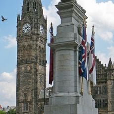
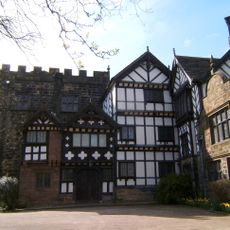
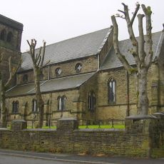
Textile production shaped daily life here for generations, with factory buildings still dotting the riverbanks as reminders of that era. The region holds this industrial heritage as part of its local identity and community memory.

The area connects well to nearby cities through major roads and motorways, making travel to surrounding regions straightforward. Regular bus services link the various villages and towns both within and around the district.

Stone from local quarries was used for major building projects across England, including the pavement of London's Trafalgar Square. This regional material therefore contributed to important public spaces far beyond the district.

The community of curious travelers

AroundUs brings together thousands of curated places, local tips, and hidden gems, enriched daily by 60,000 contributors worldwide.

Start exploring
Location
Inception
April 1, 1974
Capital city
Rawtenstall
GPS coordinates
53.68333,-2.25000
Latest update
December 20, 2025 12:52
« Rossendale - Administrative district in Lancashire, England » is provided by Around Us (aroundus.com). Images and texts are derived from Wikimedia project under a Creative Commons license. You are allowed to copy, distribute, and modify copies of this page, under the conditions set by the license, as long as this note is clearly visible.

Discover hidden gems everywhere you go!

From secret cafés to breathtaking viewpoints, skip the crowded tourist spots and find places that match your style. Our app makes it easy with voice search, smart filtering, route optimization, and insider tips from travelers worldwide. Download now for the complete mobile experience.

Around Us App Screenshot

A unique approach to discovering new places

Le Figaro

All the places worth exploring

France Info

A tailor-made excursion in just a few clicks

20 Minutes

Around Us
Travel Guide & Maps
Download

Send to your phone

QR Code
1

Open the camera app on your mobile.

2

Point at the QR code with your camera. A notification will appear.

3

Tap the notification to open the link.